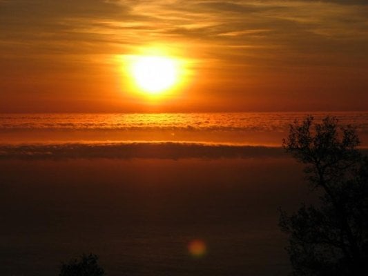
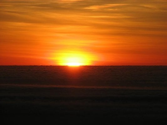
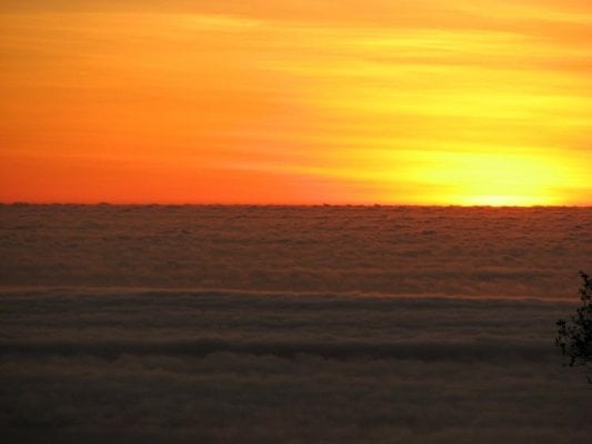
Big Sur

SunMan

King Taco
Joined
Sep 9, 2007
Messages
2,364
Location
Oxnard, CA.
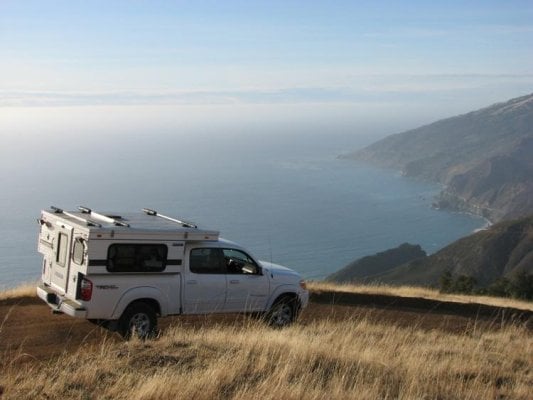
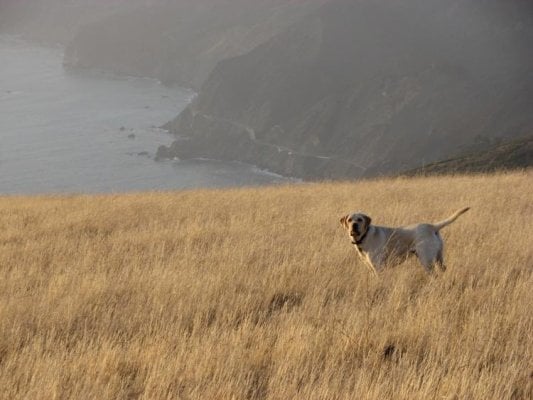
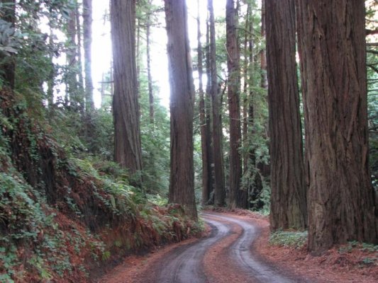
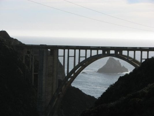
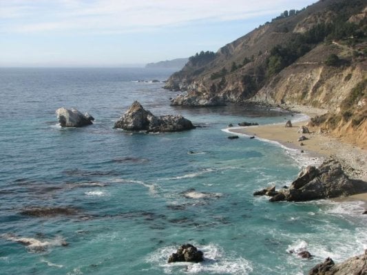
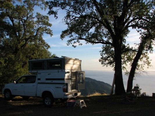
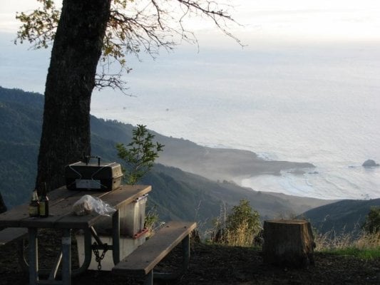
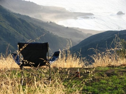
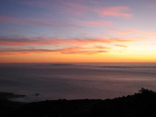
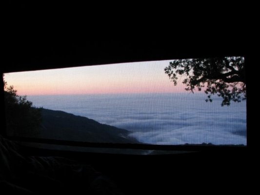
I took the week of Veteran's Day off and decided it was time to head up to Big Sur again but via a different route. I also wanted to drive the last remaining stretch of PCH-1 between Lompoc and Guadalupe that I've never been on and has for some reason eluded me all these years.

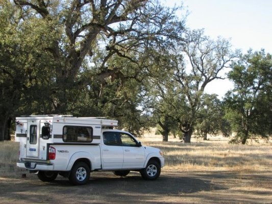
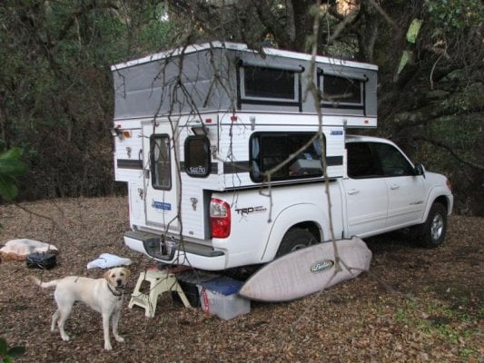
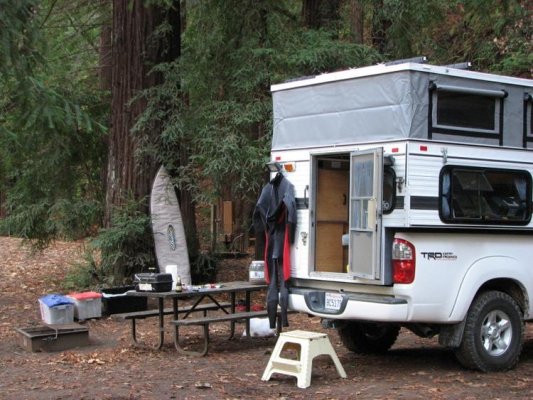
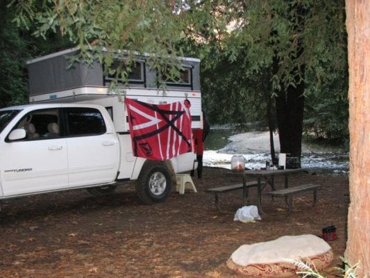
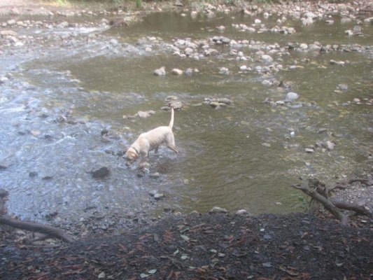
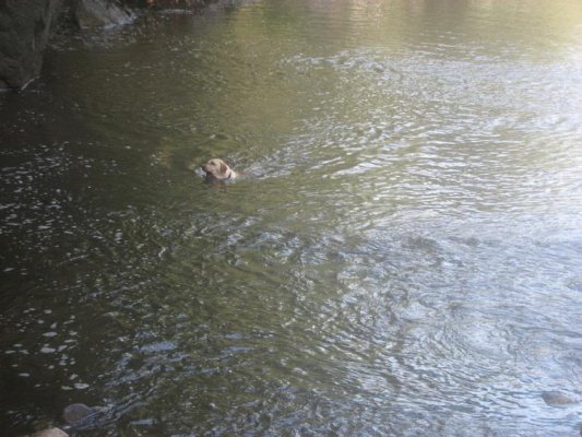
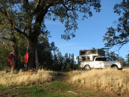
I loaded up the camper and the dog and I set out on Sunday afternoon for a short jaunt up to Jalama just to get on the road. I wound up running into some friends from my neck of the woods who were also camping there in their Tacoma/Eagle set up, it was kind of cool running into them and sharing a few brews by the fire.

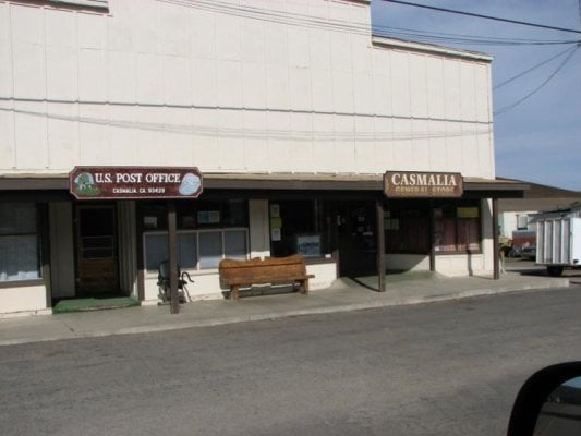
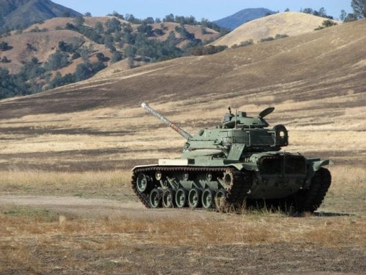
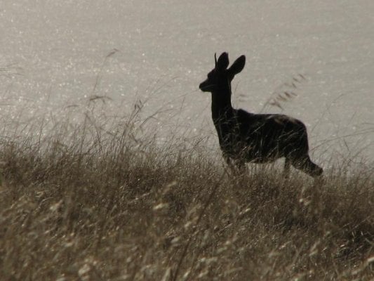
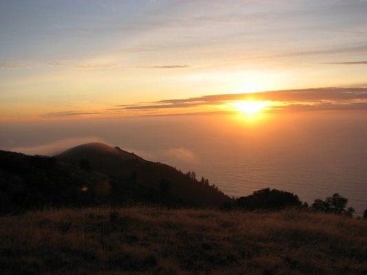
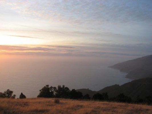
The next day I left Jalama and Lompoc, and went into Casmalia (another place I'd never been to) to try and make it out to Point Sal. No joy on the road out from Casmalia, found another road which leads to a hiking trail but didn't have the time to invest in 12mile R/T hike out there. Another time, another trip I guess.

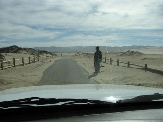
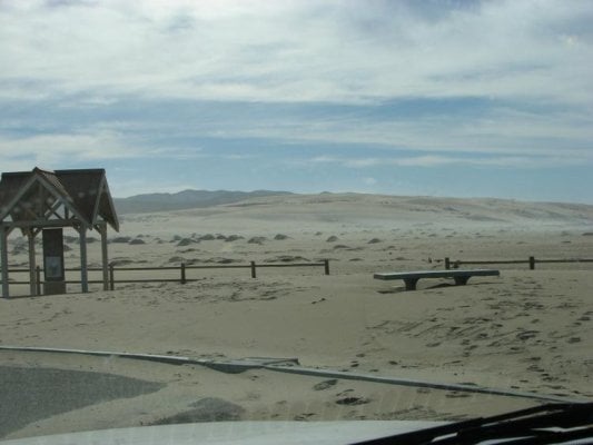
After that I drove out to the Guadalupe Dunes just for grins, saw this guy with a broom and dustpan and kinda felt sorry for him but then reckoned in this economy at least he had some serious job security...
(Other photo: Downtown Casmalia)
 

Attachments

  • dune2.jpg
    dune2.jpg
    39 KB · Views: 571
  • dune1.jpg
    dune1.jpg
    39.3 KB · Views: 559
  • Casmalia.jpg
    Casmalia.jpg
    42.1 KB · Views: 564
With the final stretch of PCH completed I hit the 101 in Arroyo Grande and headed for Paso Robles, gassed up and headed north around Lakes Nacimiento and San Antonio and then west towards Fort Hunter Ligget. You have to pass thru a check point as you actually drive thru the base. Other than a few obvious signs that this is a military base this must be what California looked like back in the day...just beautiful, I'll be doing this again in the Spring once the wildflowers are blooming...I can just imagine it all green and alive...
 

Attachments

  • HL1.jpg
    HL1.jpg
    36.7 KB · Views: 554
  • HL2.jpg
    HL2.jpg
    80.7 KB · Views: 575
  • HL3.jpg
    HL3.jpg
    107 KB · Views: 575
After exiting the base on the other side I set my sights on my destination, Prewitt Ridge overlooking Big Sur. The campsite I thought I wanted had somebody in it so I continued down the road into a very secluded spot, Alm's Camp. Couldn't beleive it on a Monday afternoon :mad:

The deer and wildlife were abundant, quite an interesting drive down, steep and WINDY, 4LO/Low was the call in many places. Although it had rained a few days prior there was no water, only a seep line I found a ways back in the woods for the animals I presume, fresh tracks were everywhere.
 

Attachments

  • PR1.jpg
    PR1.jpg
    45.8 KB · Views: 574
  • PR2.jpg
    PR2.jpg
    67.9 KB · Views: 572
  • PR3.jpg
    PR3.jpg
    53.9 KB · Views: 573
  • PR4.jpg
    PR4.jpg
    88.6 KB · Views: 591
  • PR5.jpg
    PR5.jpg
    70.7 KB · Views: 567
After camp was set up Gunner and I hiked back up to the ridge for the sunset...
 

Attachments

  • GUN1.jpg
    GUN1.jpg
    83.7 KB · Views: 533
  • GUN2.jpg
    GUN2.jpg
    55 KB · Views: 561
  • SS1.jpg
    SS1.jpg
    26.7 KB · Views: 532
  • SS2.jpg
    SS2.jpg
    27.7 KB · Views: 533
The sunset and moonrise was pretty spectacular...
 

Attachments

  • SS3.jpg
    SS3.jpg
    17.4 KB · Views: 529
  • SS4.jpg
    SS4.jpg
    13.6 KB · Views: 522
The next day we headed south on the road we came in on planning to exit by Willow Creek. The whole drive to PCH-1 was only ~15 miles but took a couple of hours, slow and windy but a really fun drive (Pic 1).

Hit the coast and found some waves so I stopped for a surf before heading into Big Sur proper (Pic-2).

I also wanted to drive the Coast Ridge Road Just north of Big Sur by Andew Molera State Park, if you are ever up there I highly recommend this drive, takes about an hour and is suitable for all vehicles. It will lead you thru, cool vistas and multiple redwood groves and eventually dump you out at the Bixby Bridge. It is weird looking at the bridge from the east to west vantage. (Pics 3, 4 & 5)
 

Attachments

  • BS1.jpg
    BS1.jpg
    50.1 KB · Views: 553
  • BS2.jpg
    BS2.jpg
    56.8 KB · Views: 559
  • BS3.jpg
    BS3.jpg
    98.1 KB · Views: 563
  • BS4.jpg
    BS4.jpg
    84.9 KB · Views: 571
  • BS5.jpg
    BS5.jpg
    28.1 KB · Views: 538
After driving the Coast Ridge Road it was time to find a camp, the Pfeiffer Big Sur Park was closed so I opted for to camp at Fernwood (a private campground i'd never been to) right on the Big Sur river, glad I did. There were two other campers in all of the 72 spaces, we found a nice secluded spot on the river. Gunner really enjoyed the river...
 

Attachments

  • Fern1.jpg
    Fern1.jpg
    86.4 KB · Views: 560
  • Fern2.jpg
    Fern2.jpg
    84.1 KB · Views: 546
  • riv1.jpg
    riv1.jpg
    78.5 KB · Views: 534
  • riv2.jpg
    riv2.jpg
    75.6 KB · Views: 528
The next day we headed south again as i was determined to camp at the site i had intended on the first night. We stopped at Pfeiffer Burns state park and checked out the falls, kind of mandatory no matter how many times you've seen it.
 

Attachments

  • Falls1.jpg
    Falls1.jpg
    52.6 KB · Views: 529
  • Falls2.jpg
    Falls2.jpg
    61.5 KB · Views: 541
  • Falls3.jpg
    Falls3.jpg
    71.4 KB · Views: 525
We made our way back up to Prewitt Ridge and much to my chagrin the tent was STILL in the spot i thought I wanted. I drove around looking for somewhere else to camp, determined to camp with a view on my last night. Lo and behold I had screwed up 2 days prior and missed the actual camp sites. A road grader had made fire breaks during the summer fires and had camoflauged the road to the camp site i wanted. I felt like a dumb a$$ but was happy to find my spot. Pretty decent views wouldn't you say? Sand Dollar Beach in the distance.
 

Attachments

  • END1.jpg
    END1.jpg
    87.2 KB · Views: 553
  • END2.jpg
    END2.jpg
    103.1 KB · Views: 582
  • end3.jpg
    end3.jpg
    52.5 KB · Views: 551
  • end4.jpg
    end4.jpg
    78.9 KB · Views: 534
The sunset that night was insane, sunrise the following day wasn't too bad either (last pic waking up inside camper). Being above the fog and clouds provides an entirely different view of the Big Sur coastline. We Headed home the following day.

All in all a great trip. Other than my friends at Jalama I had one other FWC sighting near Big Sur, a white Tacoma/Eagle combo, we gave each other the obligatory wave as we passed, didn't recognize the rig from the board.
 

Attachments

  • mag1.jpg
    mag1.jpg
    27.1 KB · Views: 493
  • mag2.jpg
    mag2.jpg
    21.2 KB · Views: 513
  • mag3.jpg
    mag3.jpg
    23.2 KB · Views: 501
  • mag4.jpg
    mag4.jpg
    23 KB · Views: 506
  • wake.jpg
    wake.jpg
    36 KB · Views: 509
SunMan,
Thanks for the post! I was thinking about going to Prewitt Ridge this post could not come at a better time.:D
How is the road going up from Lucia side? You camping spot on the last night is amazing. Would you share a little more detail on how to find it?

Thanks
Alex
 
What a beautiful spot! I had planned to stay at Kirkcreek 2 weeks ago and realized that the most of the campgrounds were closed because of the fire. Big Sur is a wonderful thing this time of year, it's nice to know that the road is open and camping is open. Thanks for sharing, Terri
 
Alex,
The road up from Lucia is fine, it starts at Kirk Creek and is well signed, turn right on South Coast Ridge Road at the top and follow the signs.

One note of caution, I've recently conversed with a guy on Expo who is heading up Thanksgiving weekend and said he spoke with the Forest Sevice and they plan to close the area soon, for how long I don't know. You may want to contact the King City Station before heading up.

Terri,
That is a diamond plate roof tray i had made for carrying fuel/wood etc. not solar. And thanks.

Is it "SOCALFJ" you talked to on Expo? Thanks for the heads up, I'll give King City Station a call before I leave. Any tip on find your wonder camping spot? :D
 
Is it "SOCALFJ" you talked to on Expo? Thanks for the heads up, I'll give King City Station a call before I leave. Any tip on find your wonder camping spot? :D


Yep, that's him. Saw his post over there asking about Prewitt Ridge.
 
Dear Sunman--

The photos were so breathtaking, one or two actually startled me from right here on the couch! :eek:

Thanks for the report.
 
Back
Top Bottom