Bradshaw trail

EdoHart

Grasshopper
Joined
Mar 12, 2007
Messages
1,036
Location
Santa Maria, CA
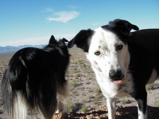
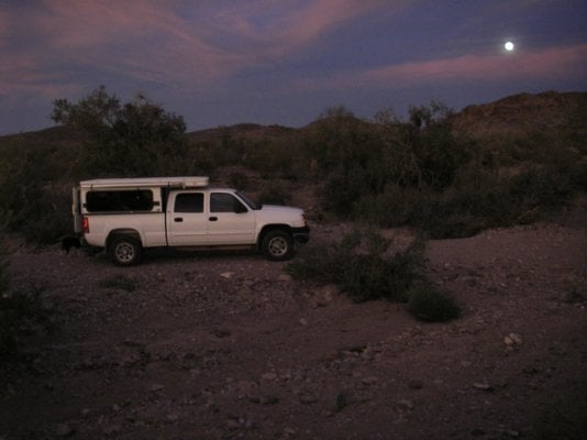
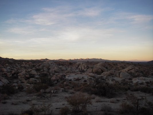
I just did a week long trip to Bradshaw Trail, KOFA NWR, Pichaco State Park and Sunflower Springs (south of Essex, CA.). Thanks to Les (a.k.a. LQHIKERS), whom didn't answer his phone - I suspect he's still in Saline Valley for the Bradshaw trail tip. I know I missed the pop-up bowl by a few weeks, but I had this planned for some time and couldn't find someone to take my relief on such short notice to make the bowl.

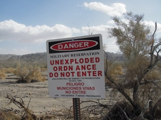
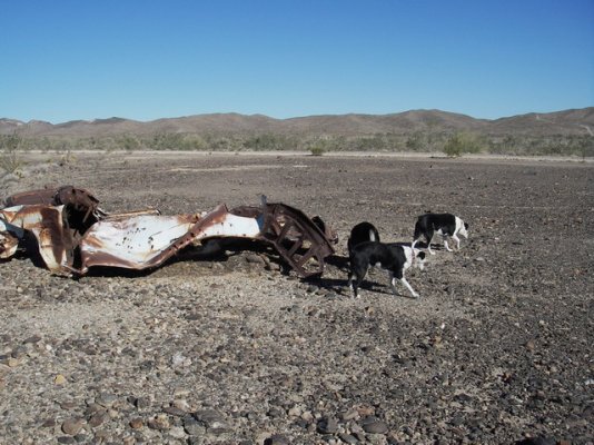
Picture 1: For many miles the Bradshaw trail form the northern border of the Chocolate Mountain Aerial Gun Range and you don't want to go south of the road because of the unexploded Ordn ance you may run into.

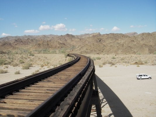
Picture 2: This rail line looks too well maintained to go railbiking on, but I bet Les knows which ones are safe. There are quite a few abondoned rail lines in the general area.

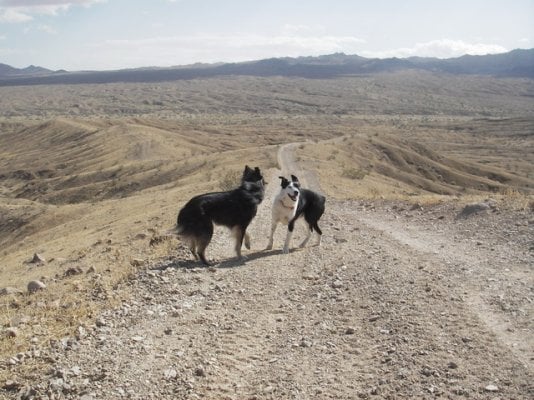
Picture 3: This was just kind of windy.

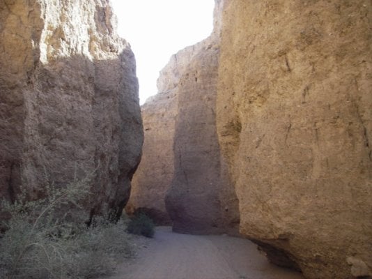
Picture 4: A nice side canyon to the north.

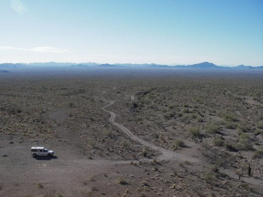
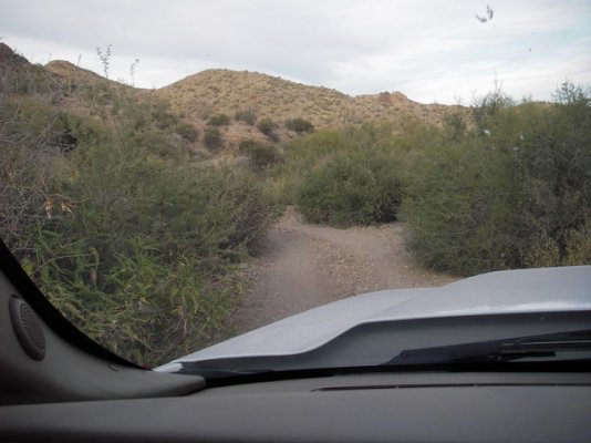
Picture 5: Be sure to take plenty of water, you don't want to break down out here. Actually, the main road from the Salton Sea all the way to paved road near the Arizona boarder was very well maintained. I set my cruise control at 25 MPH (it's slowest maintained speed) and had a great time.
 

Attachments

  • 2008-11-09 12-59-57_0003.jpg
    2008-11-09 12-59-57_0003.jpg
    122.1 KB · Views: 360
  • 2008-11-09 13-10-07_0007.jpg
    2008-11-09 13-10-07_0007.jpg
    92.9 KB · Views: 362
  • 2008-11-09 13-33-59_0013.jpg
    2008-11-09 13-33-59_0013.jpg
    138.2 KB · Views: 357
  • 2008-11-09 13-46-01_0019.jpg
    2008-11-09 13-46-01_0019.jpg
    99 KB · Views: 353
  • 2008-11-10 09-51-58_0025.jpg
    2008-11-10 09-51-58_0025.jpg
    140.7 KB · Views: 375
Bradshaw continued.

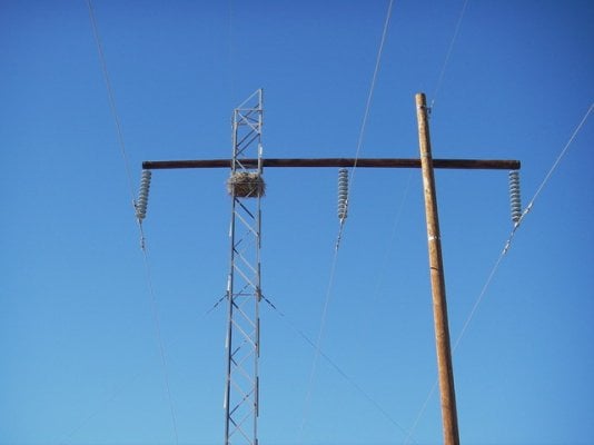
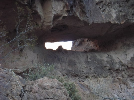
The next picture is what I believe to be an owl nest. The has a foot print 2 feet on a side.

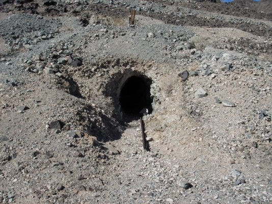
Near the end of the trail was a mine. This was just one adit (sp? - horizontal shaft into the mountain). It's about 4 feet tall and only one side of the rail line comes out of the mountain, but about 50 feet in both rails are there. Unfortunately, the flash on my camera no longer works and the pictures using a flashlight don't work either.
 

Attachments

  • 2008-11-10 10-35-02_0028.jpg
    2008-11-10 10-35-02_0028.jpg
    48.6 KB · Views: 345
  • 2008-11-10 11-54-23_0033.jpg
    2008-11-10 11-54-23_0033.jpg
    195 KB · Views: 339
Kofa NWR, Queen Cyn

The first picture is going up Queen Canyon in Kofa. I got surprisingly good cell phone coverage and actually returned a technical support call.

The second one I couldn't resist. The third speaks for it's self.
 

Attachments

  • 2008-11-10 15-14-27_0041.jpg
    2008-11-10 15-14-27_0041.jpg
    92.4 KB · Views: 349
  • 2008-11-10 15-15-16_0043.jpg
    2008-11-10 15-15-16_0043.jpg
    89.7 KB · Views: 351
  • 2008-11-10 16-43-39_0062.jpg
    2008-11-10 16-43-39_0062.jpg
    105.1 KB · Views: 344
Last few days

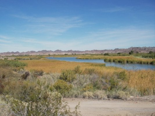
Picture 1: Picacho State Park on the California side of the Colorado River

Picture 2: Just one of many places I got some "Desert pin-striping"

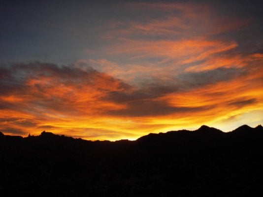
Picture 3: Maybe my new avatar, no where in particular.

Picture 4 and 5: Near Sunflower Spring south of Essex, Ca.
 

Attachments

  • 2008-11-12 11-09-24_0070.jpg
    2008-11-12 11-09-24_0070.jpg
    95.7 KB · Views: 343
  • 2008-11-12 16-49-39_0090.jpg
    2008-11-12 16-49-39_0090.jpg
    89.9 KB · Views: 333
  • 2008-11-12 17-44-31_0096.jpg
    2008-11-12 17-44-31_0096.jpg
    72.2 KB · Views: 341
  • 2008-11-13 17-25-40_0125.jpg
    2008-11-13 17-25-40_0125.jpg
    63.7 KB · Views: 354
  • 2008-11-13 17-49-44_0127.jpg
    2008-11-13 17-49-44_0127.jpg
    54 KB · Views: 331
Looks like a great trip Ed! Was it just you and the pups? Do you think that would be a good area to visit in say January? Im looking for some winter trip options.
 
In a word "Yes"

Looks like a great trip Ed! Was it just you and the pups? Do you think that would be a good area to visit in say January? Im looking for some winter trip options.

Yes, it was just me and the pups (and the many people I ran into on the trail). And, yes, January would be a great time to visit (at least I think so - I've only been there in November and April), especially if one didn't have a commitment to work at the time (sorry, I couldn't help that). I haven't downloaded my GPS waypoints and tracks yet, but I can forward those to you if you want.
 
Les' back yard

Pretty neat trip...Thanks for the picture, weather looked like it was good for you.

The rail-bike reminds me of Les's posting and you went similar places. The rail looks on the rusty side, maybe no traffic to keep them shinny
http://www.wanderthewest.com/forum/showthread.php?t=598

After Les posted his question about what we do while camping (i.e. Rail-biking), I was fortunate enough to get a PM from him inviting me to call him. During that phone call, he told me about the Bradshaw trail and Kofa NWR, and I was hoping to visit him soon there after, but work got in the way (oh, but to be unemployed - well hopefully not for a few years). Below is a link to Les' trip report.

It's beautiful country this time of year, but I don't know if I would want to be there for the 4th of July.

http://www.wanderthewest.com/forum/showthread.php?t=1027&highlight=Bradshaw
 
Pop-Up Bowl & UXO

I missed the pop-up bowl by a few weeks

Ed,

See you at AZ Pop-Up Bowl 2009!

ALL: If you happen upon UneXploded Ordnance (UXO), report it. Best if you can get GPS. Sheriff should be fine.

SB
 

New posts

Try RV LIFE Pro Free for 7 Days

  • New Ad-Free experience on this RV LIFE Community.
  • Plan the best RV Safe travel with RV LIFE Trip Wizard.
  • Navigate with our RV Safe GPS mobile app.
  • and much more...
Try RV LIFE Pro Today
Back
Top Bottom