High High Sierra

Marc

Fire Proof
Joined
Jan 3, 2007
Messages
1,121
Location
South Shores California
Just go back from eight days in the Sierras. Here are a few teaser shots. Full write up and more pics to come. First couple of pics are on the way to Coyote Flats followed by Laurel Lakes.

Marc
 

Attachments

  • 001.jpg
    001.jpg
    50.5 KB · Views: 772
  • 015.jpg
    015.jpg
    77.2 KB · Views: 770
  • 006.jpg
    006.jpg
    72.1 KB · Views: 784
  • 056.jpg
    056.jpg
    64.1 KB · Views: 805
  • 061.jpg
    061.jpg
    62.3 KB · Views: 806
Marc,
What is it like going around the last switch back at Laurel lakes before the bottom is it as tight as it looks in pictures
 
switchback

Bat

Its pretty tight. I was by myself so I was quite cautious. I was able to do it in a three pointer on the way down but coming up it took some more work. All in all it isn't that bad, just take your time and use a spotter if you have one.

marc
 
Part 1.

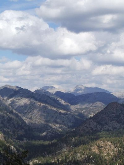
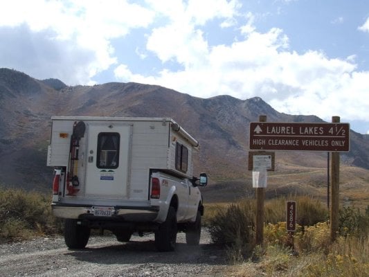
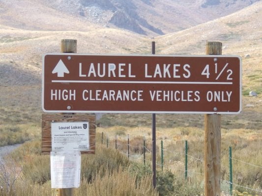
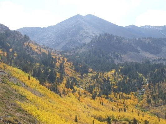
Come this time of year, the co-piolt and myself make our annual pilgrimage to the eastern sierra for the end of the trout season as well as to take in the majestic beauty that only Fall can reveal of it self in the form of its changing colors. We had planned a loose itinerary with the following stops. First would be Coyote Flats, followed by Laurel Lakes and Devils Post pile finishing up with a stop in Hamel Valley and Whitney Portal.

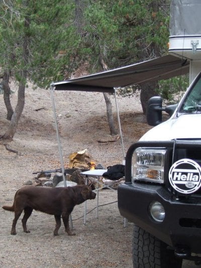
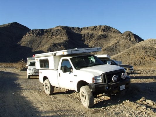
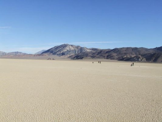
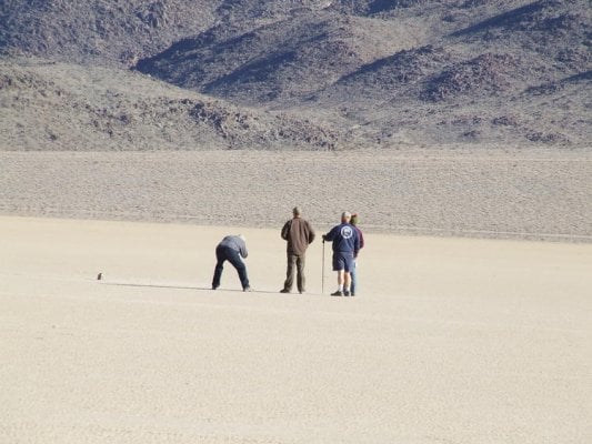
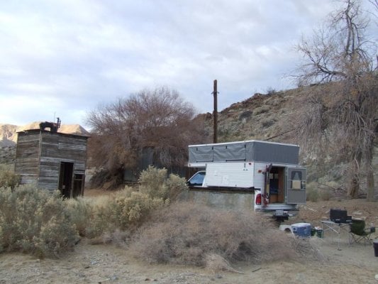
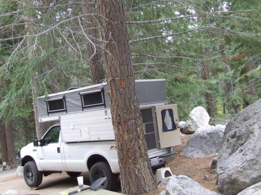
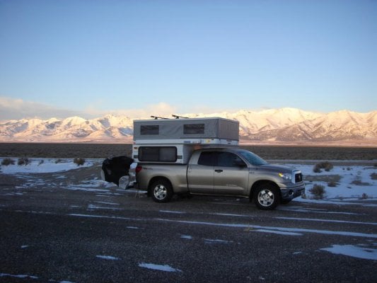
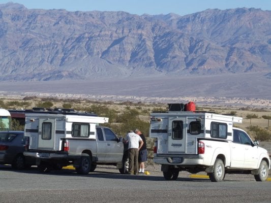
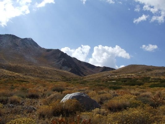
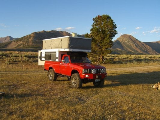
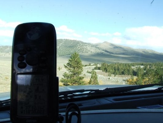
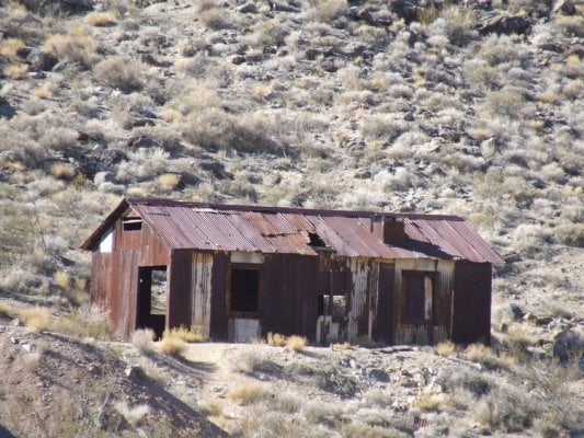
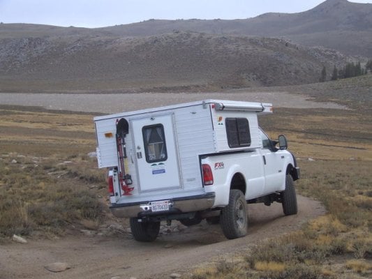
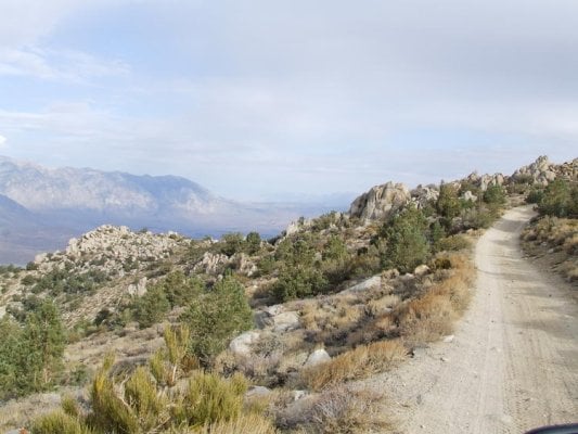
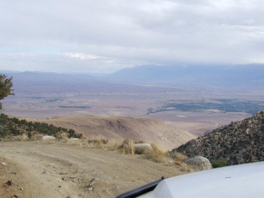
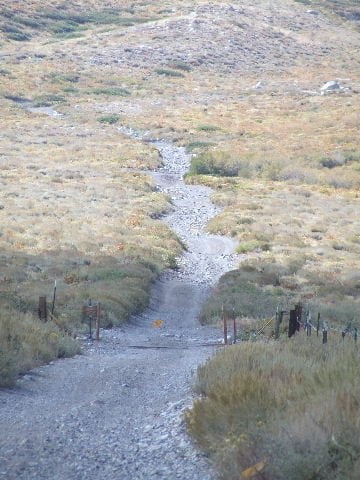
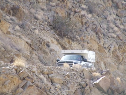
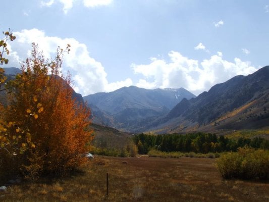
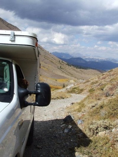
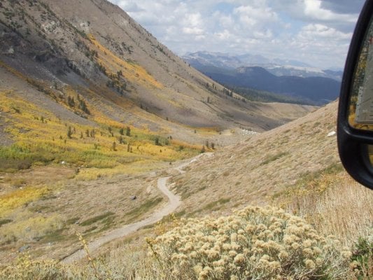
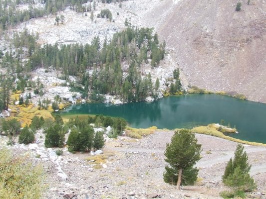
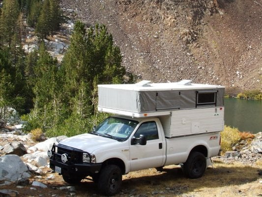
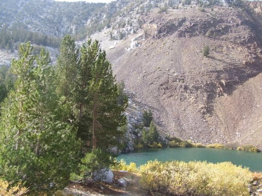
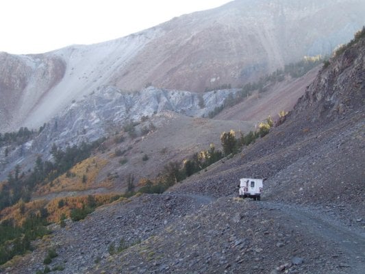
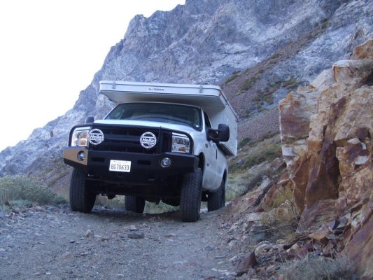
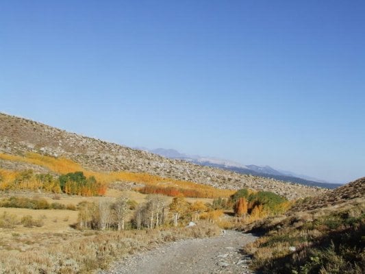
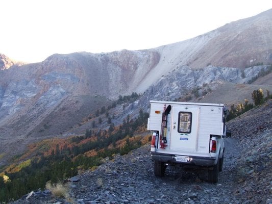
As always seems the case, a late start was made on Friday the 26th , and as the sun had long since descended on the far side of the horizon I adjusted the cruise control and settled in for what would be the beginning of a great trip. I had originally planed on making it to Bishop that night but the previous weeks work schedule was taking its toll on me so around Lone Pine we headed up into the Alabama Hills and made camp for the night. Morning found the co-piolt and myself recharged and on the road by 0700 with our next stop to be at the ranger station in Bishop. After a brief talk with the ranger and the purchase of a topo map covering the area of Coyote Flat we were on our way. The trail begins in the sagebrush-covered Owens Valley and switchbacks steeply gaining elevation rapidly. The trail surface is an uneven combination of rock, sand and boulders that wind up through a steep series of switchbacks crossing over Coyote Creek and culminating at 10,000 ft on the Sanger Meadow and Coyote Flat. We ended up making camp in a little meadow off of Baker Creek. If you like isolation this is the place to be. Although I did this trip solo it would be wise to travel with another rig for safeties sake. One has to remember that you are over 25 miles in the back country and getting any kind of help can be a challenge. N37*10.12` W118*28.78` Here are a series of pics on the way up/down
 

Attachments

  • 002.jpg
    002.jpg
    134.9 KB · Views: 724
  • 012.jpg
    012.jpg
    66.1 KB · Views: 753
  • 020.jpg
    020.jpg
    46.3 KB · Views: 736
  • 023.jpg
    023.jpg
    87.2 KB · Views: 746
  • 022.jpg
    022.jpg
    49.7 KB · Views: 709
More pics. of Coyote Flat. Part two to come.
 

Attachments

  • 024.jpg
    024.jpg
    112.3 KB · Views: 726
  • 027.jpg
    027.jpg
    61.1 KB · Views: 722
  • 030.jpg
    030.jpg
    37.8 KB · Views: 738
  • 034.jpg
    034.jpg
    69.6 KB · Views: 735
  • 036.jpg
    036.jpg
    44.4 KB · Views: 708
Part 2.

Well after a night of consistent rain the decision to break camp and head for civilization was made. I thought the trail down was going to be a challenge due to the nights previous dumping, but it turned out to be in much better shape than I had anticipated, still it was slow going. Reached Bishop without any delay and after a short lay over to fuel and grab some munchies we were off to Laurel Lakes. Laurel Lakes is at the edge of the John Muir Wilderness area and sits below Bloody Mountain. Although only a little over eight miles from down town Mammoth, Laurel Lakes offers some breath taking scenery that only the Eastern Sierra can provide. The first half of the trail is un eventful, but the remaining 5 miles is slow going and should not be underestimated. The final approach to the Lakes runs high along the valley wall and has a few spots that are off camber before reaching the infamous switchback that marks the final decent to Laurel Lakes. The only vehicle I encountered was a fisherman on a quad who was quite surprised to see the White Mammoth. Although this has to be one of the most scenic trails I have ever been on, one should realize there are very few places to pass and the possibility of having to back-up exists. The fishing wasn’t as good as I thought it would be but you couldn’t ask for a more scenic camp site. The following pics consist of the trail up followed by my camp and then the trail down. More to come. N37*34.57` W118*54.72`
 

Attachments

  • 058.jpg
    058.jpg
    78.4 KB · Views: 673
  • 059.JPG
    059.JPG
    56.2 KB · Views: 688
  • 068.jpg
    068.jpg
    81.5 KB · Views: 675
  • 073.jpg
    073.jpg
    56.2 KB · Views: 694
  • 076.jpg
    076.jpg
    73.3 KB · Views: 670
More of the ride up.
 

Attachments

  • 078.jpg
    078.jpg
    75.1 KB · Views: 652
  • 081.jpg
    081.jpg
    94 KB · Views: 664
  • 082.jpg
    082.jpg
    108.9 KB · Views: 677
  • 085.jpg
    085.jpg
    125.4 KB · Views: 677
  • 095.jpg
    095.jpg
    128.9 KB · Views: 669
Heading down. Part 3 to come.
 

Attachments

  • 106.jpg
    106.jpg
    75.2 KB · Views: 664
  • 113.jpg
    113.jpg
    83.4 KB · Views: 676
  • 115.jpg
    115.jpg
    59 KB · Views: 676
  • 109.jpg
    109.jpg
    75.1 KB · Views: 642
  • 112.jpg
    112.jpg
    101.7 KB · Views: 664
That is definately one of my favorite places to camp. Was up there this last spring and not a sole around.
 
looks like a great trip marc...your rig always impresses me...way to get out there...thanks for posting a great write up and pics!
 
:thumb: 
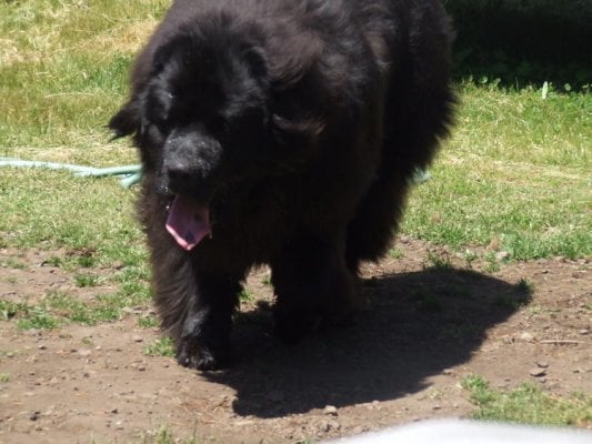
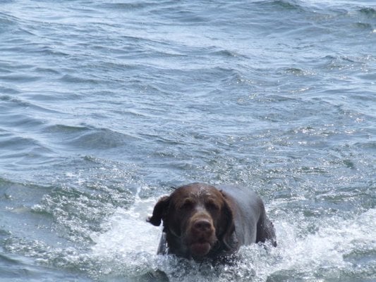
Outstanding pics and report Marc. Looking forward to the rest. The pooch must have had a blast out there!
 
erod and Sunman ... thanks for the comments. I really had a good time and it only rained for a few days. Erod glad to see ya posting again. Was wondering what had happened to you ??

marc
 
Sierra's

Marc looks like you had another great trip,plus great pics.
Got me reved up for our yearly trip to saline valley at the end of oct.
Looks like you drove slow and enjoyed!
Always driving slow and enjoying "its the journey"
Les Lqhikers.
 
After some memorable days in the high country, Dylan and I decided to settle for a little more convenience and decded to stay in Devils Postpile until the rain subsided. Here is a pic of our camp followed by some shots after the rain had cleared out.
 

Attachments

  • 040.jpg
    040.jpg
    99 KB · Views: 459
  • 045.jpg
    045.jpg
    84.6 KB · Views: 473
  • 051.jpg
    051.jpg
    51.9 KB · Views: 461
  • 047.jpg
    047.jpg
    48.4 KB · Views: 464
  • 050.jpg
    050.jpg
    73.7 KB · Views: 452
What a great place you travelled through. It looks like a great place for a movie.
Thanks for the report.
 
Back
Top Bottom