Bristlecone Pines

CPT Davenport

Senior Member
Joined
Dec 18, 2021
Messages
694
Location
Davenport CA
So far every time we have been near the forest off of 395 to the 168 out of Big Pine, the roads have been closed. We have yet to make it to the Bristlecones usually because of snow. We are staying at Benton this Sunday an Monday and would like to give it another shot. Can any of you folks from that zone confirm we can drive up to them on 11/20?
 
View from Benton this morning. No snow on Montgomery and Boundary but we only see the sunny windward side. Who knows what this incoming storm cycle will do. It would be best to call the White Mountain Ranger District office - Inyo National Forest.

Low here this morning was 21.
 
We made it up there on April 3 2022 -- but there were 'proceed at your own risk' signs and patches of older drifts on the road. Still had snow in the parking lot. Good luck -- they are well worth visiting.
 
AWG_Pics said:
We made it up there on April 3 2022 -- but there were 'proceed at your own risk' signs and patches of older drifts on the road. Still had snow in the parking lot. Good luck -- they are well worth visiting.
I heard it closes down in September. I will make some calls this week and hopefully get a confirmation. Nice to hear your recommendation that it is well worth visiting!
 
Yes, the Schulman Grove (vistors center) closed the end of September although the trails and parking remain open until Inyo County closes the gate on White Mountain Road -

Ancient Bristlecone Pine Visitors Center

Schulman Grove Map

and.......

Inyo County Road Status

The bristlecone pines are well worth a trip, as are the views from White Mountain Road. White Mountain Road is paved to the Schulman Grove.

The Patriarch Grove is much further out the gravel road at 11,000 feet.
 
Thanks Ski ! SO by the looks of you road status details, the roads to the pines are currently open. I can park at the visitor center and hike out. Is there a loop trail or is it up and back? What is the approximate distance from the parking to the bristlecones?
 
Cpt Davenport said:
Thanks Ski ! SO by the looks of you road status details, the roads to the pines are currently open. I can park at the visitor center and hike out. Is there a loop trail or is it up and back? What is the approximate distance from the parking to the bristlecones?
You’ve got a great chance at good weather. I just put both sets of chains on Big Red the tractor, fueled and started Mini Red the snow blower, so that means no snow (at least around here) for at least two weeks.

:)
 
Wandering Sagebrush said:
You’ve got a great chance at good weather. I just put both sets of chains on Big Red the tractor, fueled and started Mini Red the snow blower, so that means no snow (at least around here) for at least two weeks.

:)
Isn't that the way it goes?!!!
 
Cpt Davenport said:
Thanks Ski ! SO by the looks of you road status details, the roads to the pines are currently open. I can park at the visitor center and hike out. Is there a loop trail or is it up and back? What is the approximate distance from the parking to the bristlecones?
Cpt, both trails at Schulman Grove are loop trails. There are bristlecone pines at the parking lot. If the rock turns to limestone, there are bristlecones about. :)

more info -

The trails at Schulman Grove
 
Cpt Davenport said:
Thanks Ski ! SO by the looks of you road status details, the roads to the pines are currently open. I can park at the visitor center and hike out. Is there a loop trail or is it up and back? What is the approximate distance from the parking to the bristlecones?
The discovery trail is right at the parking lot -- a 1 mile hike/walk. The trees begin immediately at the beginning of the walk. You will see about a hundred of them, at least.
 
Well no luck on seeing the bristlecones, not even close. The plan was to head up over Tioga pass and to Lundy Valley , Mono lake, Benton and then the pine forest. the pass was open when we left in the morning, but when we got to Yosemite, it was closed. Time for a new plan!

We messed about in Yosemite valley for only about an hour. Sure is beautiful, but wow what a zoo! I had not been there for about 30 years and things sure have changed. I thought a rainy day in the off season would be less crowded, wrong I was.

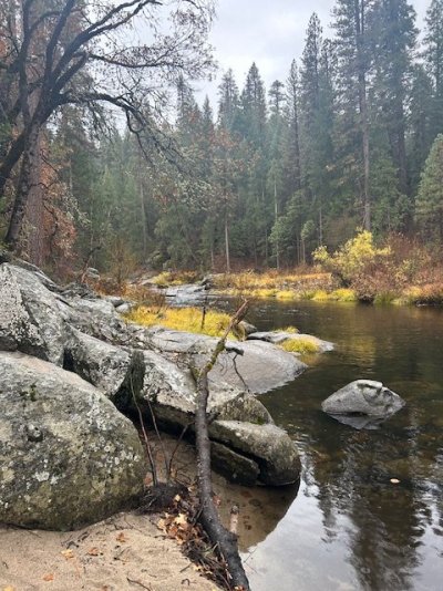
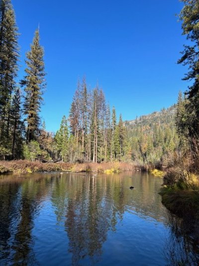
We headed out of the mayhem to Wowona CG and got a nice quiet site on the Merced river. Tons of trout but the season ended on the 15th so we just enjoyed watching them make there way up the river.
 

Attachments

  • IMG_3673.jpg
    IMG_3673.jpg
    116.7 KB · Views: 40
  • IMG_3678.jpg
    IMG_3678.jpg
    85.7 KB · Views: 40
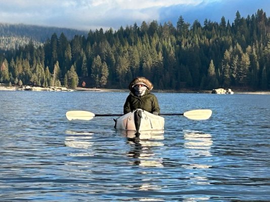
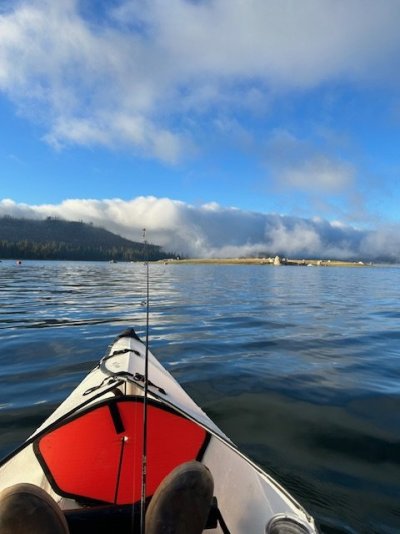
We decided to head over to Shave Lake as it was only 2 hours away and we've had multiple generations of fun in that area. The lake was full to the brim, beautiful and not a soul on it but us. Had some good chilly paddles and hikes and even found a few rainbows. Thought we might make it to Mono hot springs, but we missed that window by a couple days as well, road closed. I guess I will have to settle for the hot tub on my back deck as we got shut down from both of our hot spring missions. At least we got one last hurrah before everything hibernates for the winter.
 

Attachments

  • IMG_3687.jpg
    IMG_3687.jpg
    162.4 KB · Views: 43
  • IMG_3683.jpg
    IMG_3683.jpg
    50.7 KB · Views: 46
I'm always amazed at how every fish is distinctively different. The markings and colors are our a treat to behold.
 

Attachments

  • IMG_3690.jpg
    IMG_3690.jpg
    247 KB · Views: 48
Cpt Davenport said:
I'm always amazed at how every fish is distinctively different. The markings and colors are our a treat to behold.
Thanks for pointing that out. About 10 years ago I was looking at salmon, steelhead and other fish migrate past the view window at Bonneville Dam -- it was a big run year. I noticed after a while that every fish looked unique. And I saw hundreds that day, maybe thousands.

I did get a nice picture of them too, after a few dozen tries: https://www.flickr.com/photos/awg_pics/15276069876/in/album-72157629423548157/
 

New posts - WTW

Back
Top Bottom