Jack
Senior Member
One of the pluses to living in LA is that escaping from it is even sweeter...
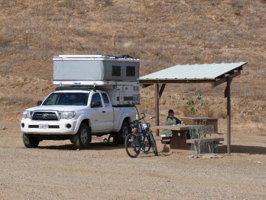
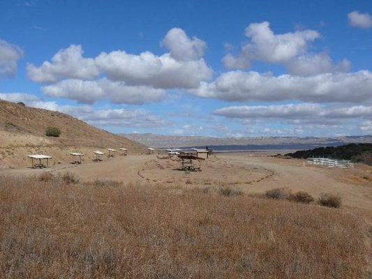
The Carrizo Plain is one our favorite escapes. It lies between San Louis Obispo and Bakersfield along the San Andreas fault. It's now a National Monument and has two campgrounds. Bring your own water and pack out your garbage. There usually non-potable water at the Selby campground; if not, then 200 yards back down the road at the sharp bend. Summers are triple digit temperatures, but fall through spring are usually very pleasant. It's popular with hunters in the fall, with the desert wild flower viewers in early spring and birders during the migrations. But most of the time, there's hardly anyone there; on Monday, we were alone.
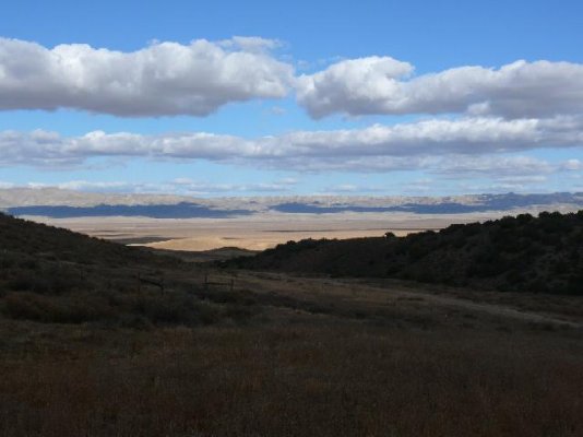
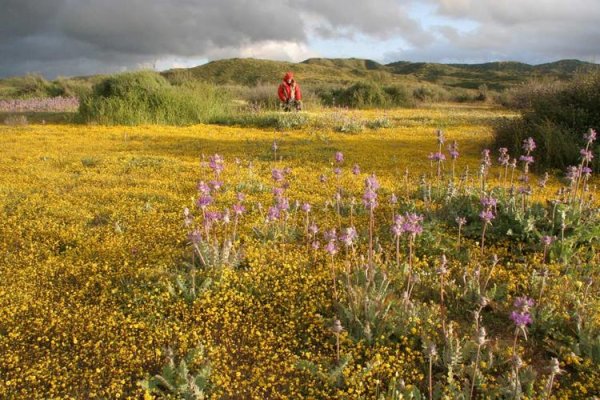
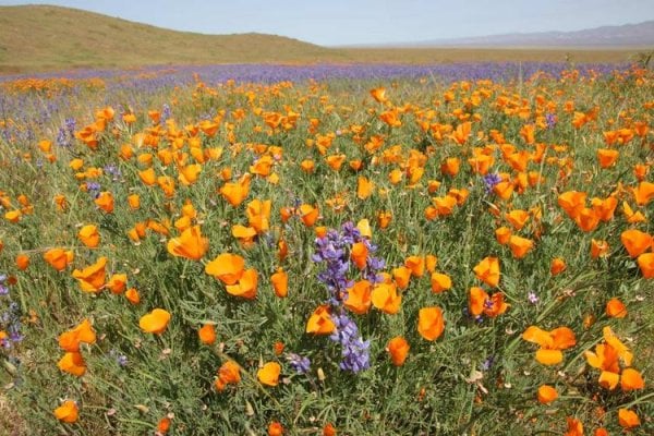
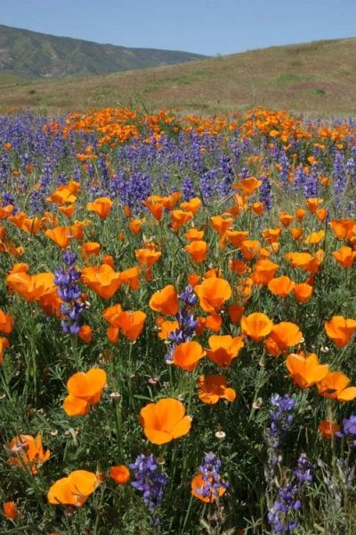
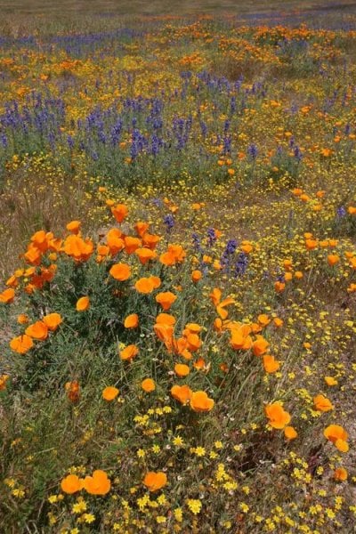
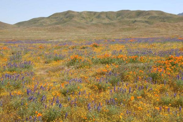
The spring flowers, by the way are incredible (only pictures we have are pre-digital 35mm slides). The Carrizo is said to be better than Death Vally, and I believe it. It's hard to imagine the landscape in the following pictures covered with blankets of red, yellow, blue and white flowers.
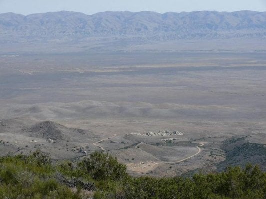
The scarp across the valley is the San Andreas fault. There is now a parking lot and a 1/4 mile walk to Wallace Creek off of Hwy 58 on Elkhorn Rd where you can literally put one foot on the North American plate and the other on the Pacific plate.
One word of caution. They get only 10" to 15" of rain a year, but when it rains, the roads turn to grease and mush. If you get stuck, you simply will not get out until it dries out. Soda Lake RD and the KCL CG should be ok except in the worst rain. It doesn't take much rain, however, to make road to Selby CG useless.
Here's the link: http://maps.google.com/maps?hl=en&ie=UTF8&ll=35.15753,-119.73793&spn=1.764938,2.985535&t=h&z=9
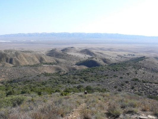
The first three pictures are of or from the Selby CG; the last two are from an earlier trip from Caliente ridge, which is above and behind the CG.

