First Death Valley Report

What a Great Trip!!

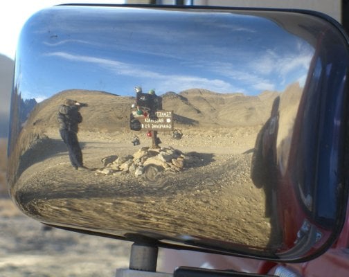
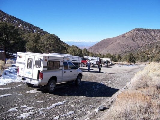
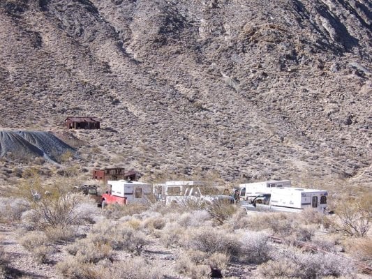
After we left you guys we went to Lone Pine in the Alabama Hills and waited until morning to get a couple of Arch pictures. Have not had a chance to down load and process them yet.

We had a great time visiting everybody that was out there. Had a minor problem that will be fixed better than new in the coming weeks.

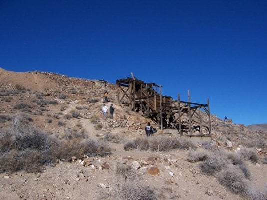
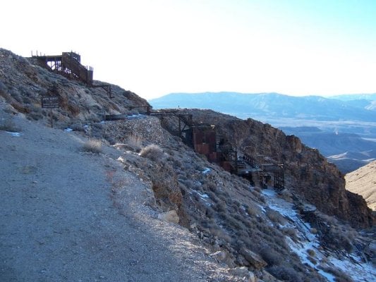
I got the chance to go up to the Cerro Gordo Mine when I worked for Cable TV in Bishop back in 1984. We had to drive up to the towers and get the big propane tank and tow it down to Lone Pine to fill it and go back up and service the engine for the back up system. Don’t know how the road is now, but back then it was not easy.
 
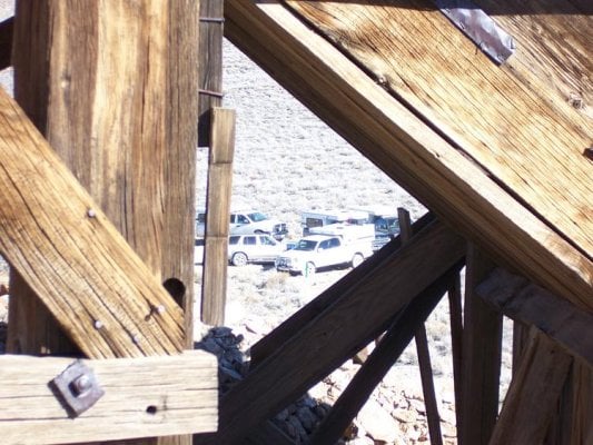
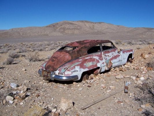
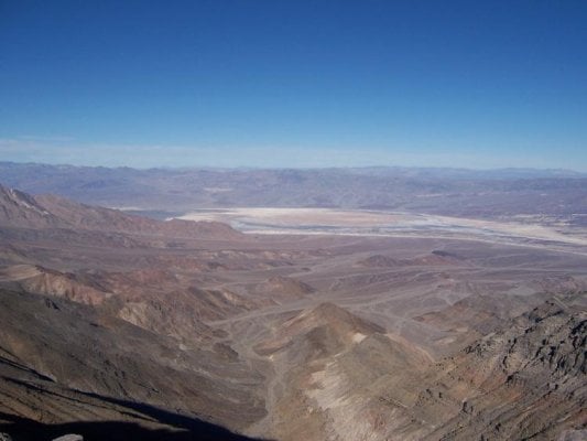
Here is one quick teasers....
 

Attachments

  • 090119CG2_018.jpg
    090119CG2_018.jpg
    89.5 KB · Views: 306
Wish I could have joined in but work prevailed. But after next week I retire and plan to be in Death Valley on 2/4 for 4 days. Being solo I don't want to push my luck and get stuck on trail but from the pictures it doesn't look bad. I'll do day trips from Furnace Creek, what would be some recommended trips for my F150 4wd with Granby? I'd like to do Titus and get out to the Racetrack and Aguereberry and kilns. Doable?
 
Easily doable

Hi Barko1,

Congratulations on your upcoming retirement. I'll have to keep dreaming about that for a long time yet.

The destinations you list will be no challenge at all for you. You will see regular two wheel drive sedans at the kilns and Aguereberry for sure, most likely at Racetrack Playa, and possibly even on Titus Canyon Road. Titus Canyon had a couple of sections where a passenger car may not have the clearance, but if driven slowly and carefully could make it. However, the above is based on the current snow (or lack of snow) conditions. Conditions could change if a good storm hits between now and your trip. Before you head out each morning, stop at the visitor center in Furnace Creek and check the morning report.

Have a good time.
 
What a trip

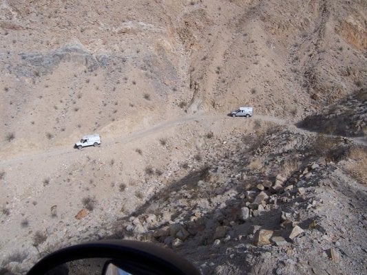
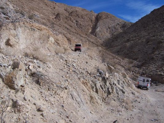
That was a wonderful trip with a great group of people. I want to thank DD for getting us all together, SunMan for the late night tacos and Marc,DD and Patrick for talking me into driving the beast through Lippincott Pass. I'm hoping the pucker mark will eventually come out of the seat.

Being a computer wimp I haven't figured out how to mix the photos and text so you will have to bear with me for several posts.

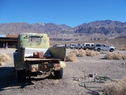
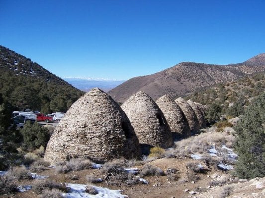
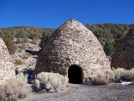
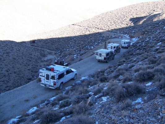
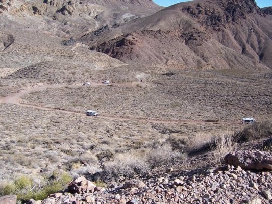
As stated before 6 of us started at Ballarat and headed up Wildrose canyon to the charcoal kilns. The road was gated at this point due to the snow.
 

Attachments

  • 100_1962.jpg
    100_1962.jpg
    90.9 KB · Views: 240
  • 100_1966.jpg
    100_1966.jpg
    98.4 KB · Views: 234
  • 100_1968.jpg
    100_1968.jpg
    109.4 KB · Views: 250
  • 100_1971.jpg
    100_1971.jpg
    97.9 KB · Views: 245
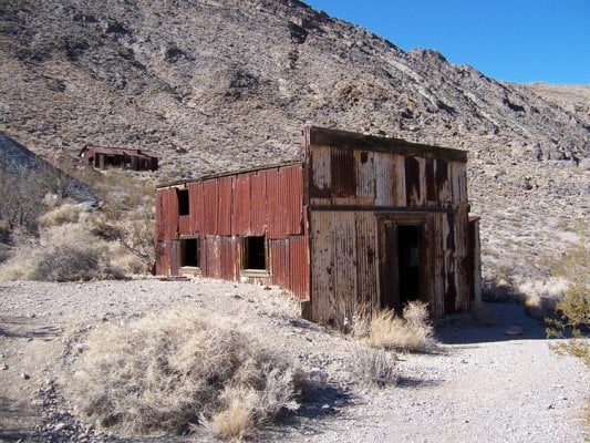
We then headed to Aguereberry Point and stopped by the Eureka mine on the way. The Buick Roadmaster was having mechanical problems.
 

Attachments

  • 100_1972.jpg
    100_1972.jpg
    70.2 KB · Views: 243
  • 100_1973.jpg
    100_1973.jpg
    85.8 KB · Views: 238
  • 100_1977.jpg
    100_1977.jpg
    92.8 KB · Views: 258
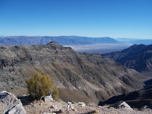
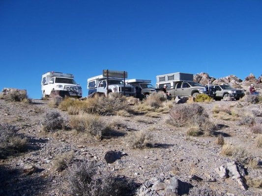
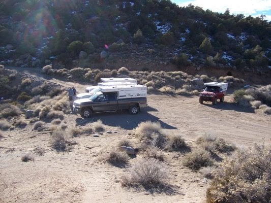
We had lunch at Aguereberry Point. The first shot is looking north toward Furnace Creek, the second is looking south and the third is a shot of the trucks.
 

Attachments

  • 100_1982.jpg
    100_1982.jpg
    43.5 KB · Views: 254
  • 100_1983.jpg
    100_1983.jpg
    76.3 KB · Views: 247
  • 100_1986.jpg
    100_1986.jpg
    96.1 KB · Views: 255
Next we went to Skidoo which was a dissappointment because the only thing there was a picture of what it once looked like. 4 of us then headed down a trail that ended at a gate. It was a tight turnaround but beyond the gate was a fairly intact stamp mill.
 

Attachments

  • 100_1989.jpg
    100_1989.jpg
    96.4 KB · Views: 242
  • 100_2000.jpg
    100_2000.jpg
    71.8 KB · Views: 242
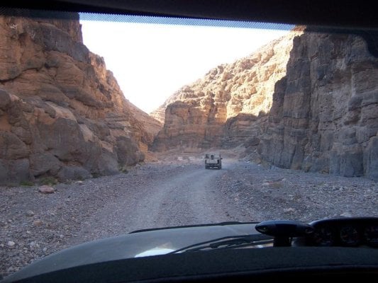
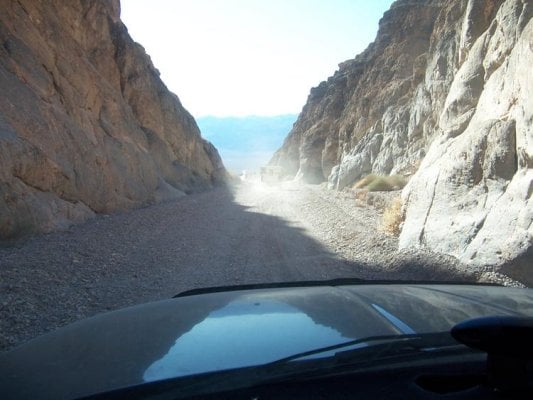
Saturday afternoon we met up with the rest of the group at Stovepipe Wells. The next morning we got word that Titus Canyon was open and we were off. The first shots are the pass at the east end of the canyon and then lunch at Leadfield.
 

Attachments

  • 100_2025.jpg
    100_2025.jpg
    132.4 KB · Views: 250
  • 100_2027.jpg
    100_2027.jpg
    109 KB · Views: 248
  • 100_2030.jpg
    100_2030.jpg
    130.3 KB · Views: 244
  • 100_2039.jpg
    100_2039.jpg
    149.1 KB · Views: 254
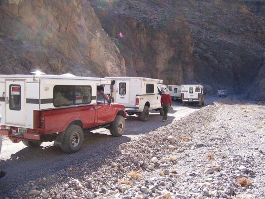
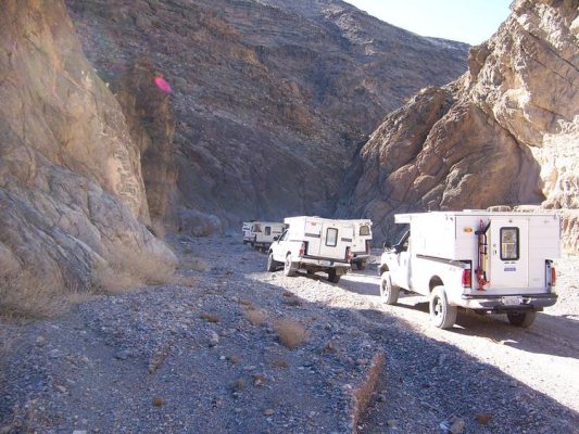
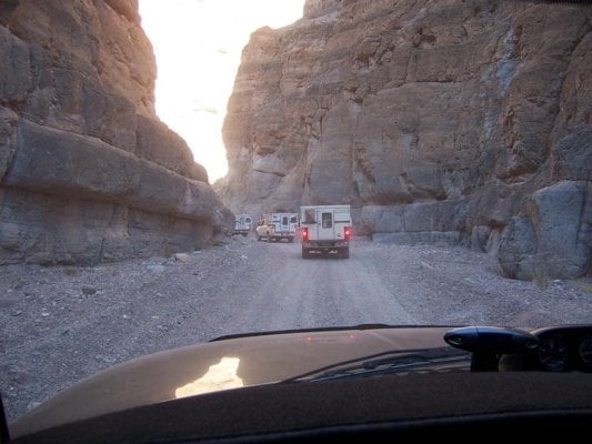
The following are from the bowels of Titus Canyon.
 

Attachments

  • 100_2040.jpg
    100_2040.jpg
    101.4 KB · Views: 252
  • 100_2041.jpg
    100_2041.jpg
    97.7 KB · Views: 255
  • 100_2043.jpg
    100_2043.jpg
    60.8 KB · Views: 242
  • 100_2046.jpg
    100_2046.jpg
    68.3 KB · Views: 248
  • 100_2052.jpg
    100_2052.jpg
    61.3 KB · Views: 246
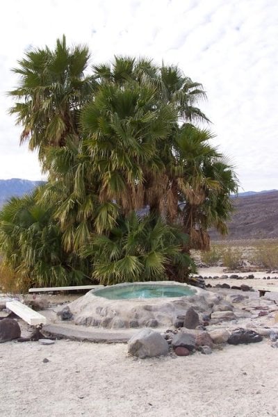
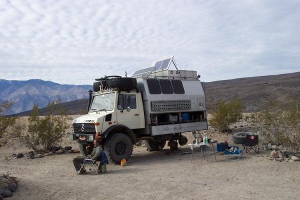
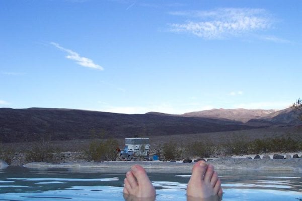
What a trip!I enjoyed meeting and hanging out with everyone.I am glad to hear that everything went well through Lippencott. After leaving the group I spent a couple days in the Saline Valley at Warm Springs Camp and met some truely adventurous if not offbeat travelers.Here are some pictures from that camp.
 

Attachments

  • 100_0768.jpg
    100_0768.jpg
    76.2 KB · Views: 263
  • 100_0767.jpg
    100_0767.jpg
    54.3 KB · Views: 262
  • 100_0764.jpg
    100_0764.jpg
    30.3 KB · Views: 249
  • 100_0772.jpg
    100_0772.jpg
    36.5 KB · Views: 244
  • 100_0776.jpg
    100_0776.jpg
    66.9 KB · Views: 249
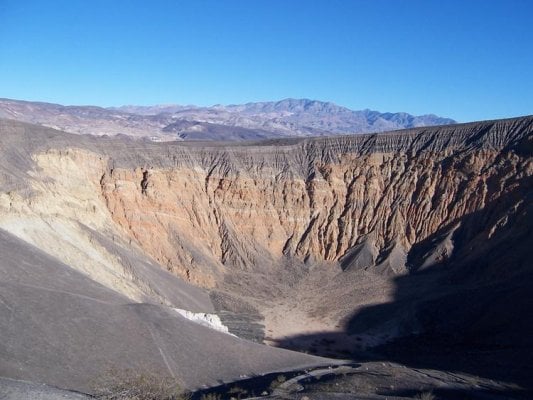
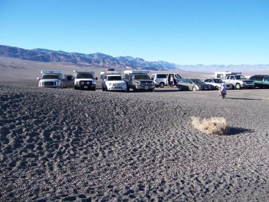
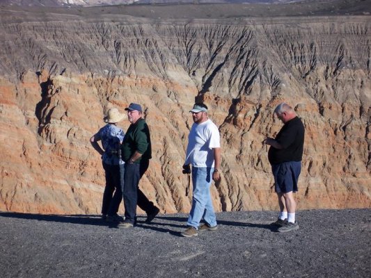
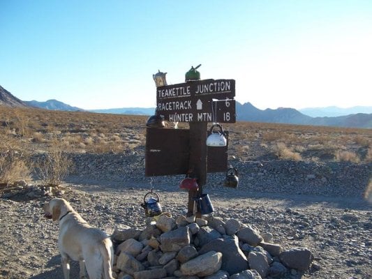
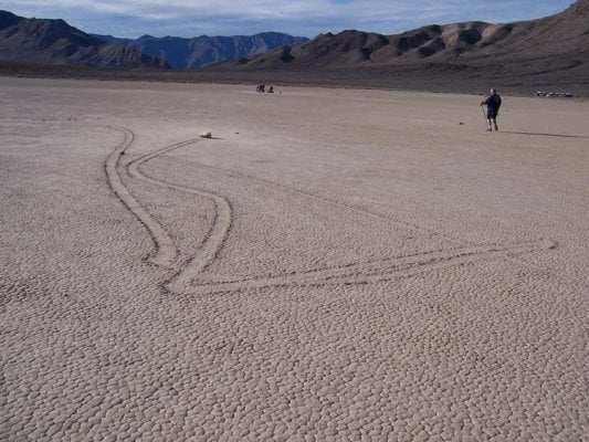
After we got out of Titus Canyon we headed off to Ubehebe Crater. The folks in the third shot are Pam, Bob, Marc and Russel. We then went to a campspot near Teakettle Junction that Patrick recommended. The road was 20 some miles of dusty washboard hell. Gunner at Teakettle Junction. Then on to watch the rock races.
 

Attachments

  • 100_2055.jpg
    100_2055.jpg
    69.4 KB · Views: 243
  • 100_2056.jpg
    100_2056.jpg
    117.6 KB · Views: 238
  • 100_2060.jpg
    100_2060.jpg
    103.4 KB · Views: 245
  • 100_2068.jpg
    100_2068.jpg
    80.7 KB · Views: 241
  • 100_2073.jpg
    100_2073.jpg
    89.7 KB · Views: 240
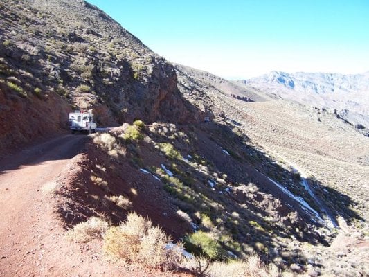
At the racetrack we had to make a decision about wheather we should backtrack the washboard to Ubehebe Crater or take Hunter Pass or Lippincott road to get out. Lippincott was the shortest on the map so the decision was made. It was an easy Jeep trail but way too narrow and twisty for a full size long bed. An exciting ride but we finally made it to the Saline Valley, South Pass and Furnace Creek.
 

Attachments

  • 100_2081.jpg
    100_2081.jpg
    99.2 KB · Views: 235
  • 100_2083.jpg
    100_2083.jpg
    112.2 KB · Views: 232
  • 100_2088.jpg
    100_2088.jpg
    95.6 KB · Views: 227
  • 100_2091.jpg
    100_2091.jpg
    91.8 KB · Views: 231
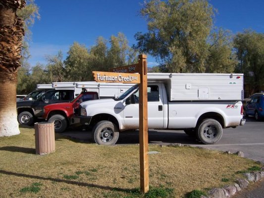
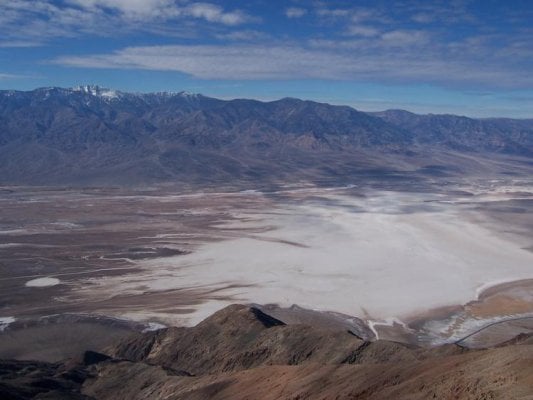
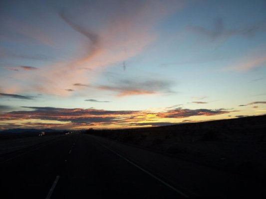
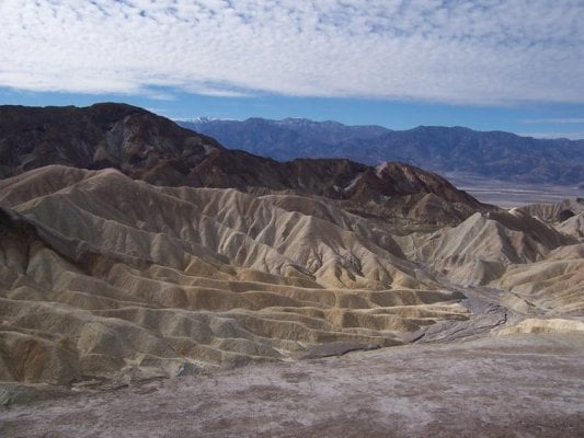
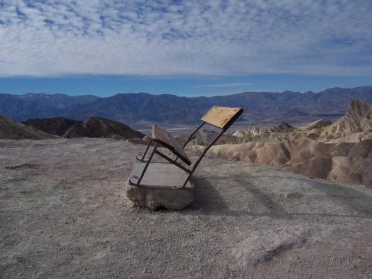
Monday morning we had breakfast at Furnace Creek and the went our separate ways. I headed east and stopped at Zabriskie Point to get a shot of the view. The reclining bench there was interesting. Maybe useful for stargazing. Then I stopped at Dante's View for a shot of the valley looking at the Panamints. The final picture is the sunset on I15.

This was a great trip and I want to thank all those involved. There was talk of another trip next year but I say why wait. Lets get together and do another area this spring.

Dick
 

Attachments

  • 100_2096.jpg
    100_2096.jpg
    62.6 KB · Views: 216
  • 100_2100.jpg
    100_2100.jpg
    65.7 KB · Views: 217
  • 100_2106.jpg
    100_2106.jpg
    48 KB · Views: 211
  • 100_2113.jpg
    100_2113.jpg
    23.7 KB · Views: 232
You got some great shots on Lippincott Dick! I'm wtih you, we need to do this again sooner than later.
 

New posts

Try RV LIFE Pro Free for 7 Days

  • New Ad-Free experience on this RV LIFE Community.
  • Plan the best RV Safe travel with RV LIFE Trip Wizard.
  • Navigate with our RV Safe GPS mobile app.
  • and much more...
Try RV Life Pro Today
Back
Top Bottom