Since several of us have visited the area and pay attention to parked vehicles, from the NPS morning report.
Death Valley National Park (CA)
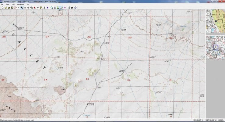
Lost Visitor Rescued After A Week In The Desert
On Saturday, May 9th, rangers received a report that a white pickup truck had been parked for several days at Saline Valley Dunes, a remote area only accessible to 4x4 vehicles.
Rangers searched the area on Sunday but were unable to locate anyone associated with the truck. Through investigation, they determined that it had been rented by a single person and had not been returned by the rental contract’s termination date.
On Monday, the Beverly Hills Police Department checked at the man’s home and confirmed that he was overdue and a search was begun. Rangers were joined by Inyo County SAR, China Lake Mountain Rescue, and California Highway Patrol’s helicopter H80.
On Tuesday morning, H80 was re-tasked to another SAR which was occurring simultaneously at Mesquite Sand Dunes. Once H80 cleared Mesquite Sand Dunes, the crew returned to assist in the Saline Valley search efforts. San Bernadino, Tehachapi, California Rescue Dog Association, and Kern Valley SAR groups also joined the search. Around 10 a.m., H80 located the missing man, who was roughly five miles from his vehicle and to the east of the dune complex.
The man reportedly set out alone for a day hike on the morning of Tuesday, May 5th, and became disoriented. Unable to find his way back to his vehicle, he followed a group of burros to a watering hole where he subsisted until rescue arrived. The man was transported to Northern Inyo Hospital where he is being treated for second degree sunburn and arhabdomyolysis.
[Submitted by J.D. Updegraff, District Ranger]
Death Valley National Park (CA)
Lost Visitor Rescued After A Week In The Desert
On Saturday, May 9th, rangers received a report that a white pickup truck had been parked for several days at Saline Valley Dunes, a remote area only accessible to 4x4 vehicles.
Rangers searched the area on Sunday but were unable to locate anyone associated with the truck. Through investigation, they determined that it had been rented by a single person and had not been returned by the rental contract’s termination date.
On Monday, the Beverly Hills Police Department checked at the man’s home and confirmed that he was overdue and a search was begun. Rangers were joined by Inyo County SAR, China Lake Mountain Rescue, and California Highway Patrol’s helicopter H80.
On Tuesday morning, H80 was re-tasked to another SAR which was occurring simultaneously at Mesquite Sand Dunes. Once H80 cleared Mesquite Sand Dunes, the crew returned to assist in the Saline Valley search efforts. San Bernadino, Tehachapi, California Rescue Dog Association, and Kern Valley SAR groups also joined the search. Around 10 a.m., H80 located the missing man, who was roughly five miles from his vehicle and to the east of the dune complex.
The man reportedly set out alone for a day hike on the morning of Tuesday, May 5th, and became disoriented. Unable to find his way back to his vehicle, he followed a group of burros to a watering hole where he subsisted until rescue arrived. The man was transported to Northern Inyo Hospital where he is being treated for second degree sunburn and arhabdomyolysis.
[Submitted by J.D. Updegraff, District Ranger]