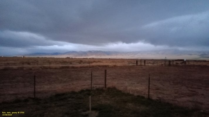
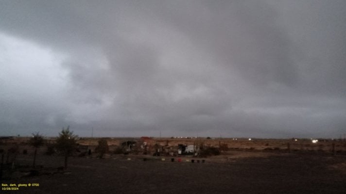
About 26° here at the Fort. Maybe Capilene under shorts…52 for a low this morning. We could have worn shorts on our morning walk.
You are using an out of date browser. It may not display this or other websites correctly.
You should upgrade or use an alternative browser.
You should upgrade or use an alternative browser.
Meteorological Fall Starts Today
- Thread starter Wandering Sagebrush
- Start date
Sagebrush Reconnoiterer
The Historian
At 0600 this morning the outside temperature was 48°. At 0730 the temperature had dropped to 38°. Finally a Fall like bite to the air.
Sagebrush Reconnoiterer
The Historian
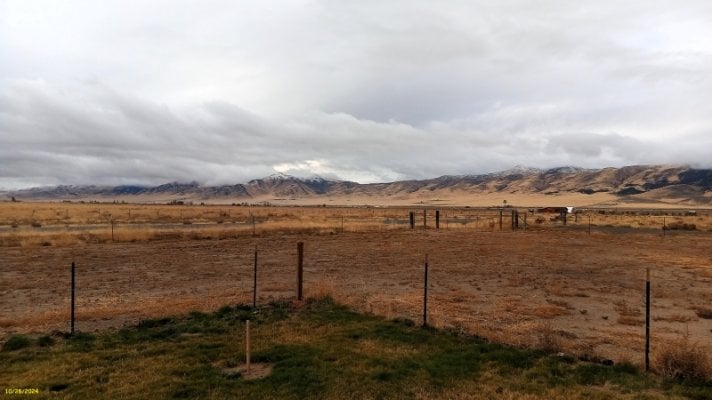
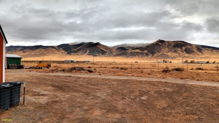
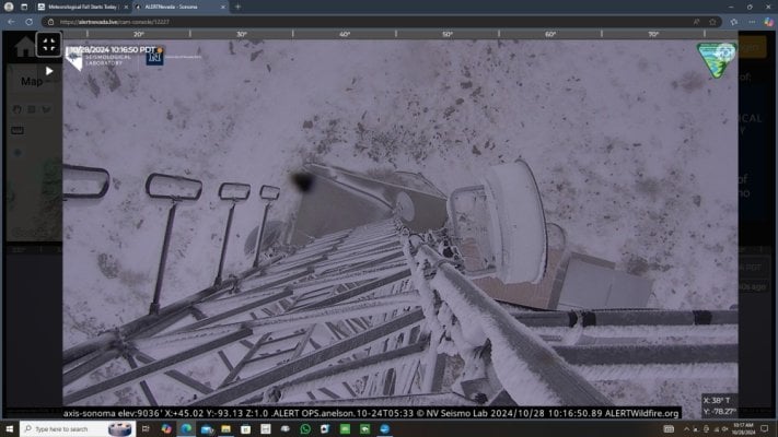
The current screen shot from the live Sonoma camera of the Nevada Alert camera system. The elevation is 9,036' plus whatever height the camera is mounted to the tower. The last image in my post above show a dusting of snow down to about 5,000', or about 650' above my home.
Attachments
For all of you dreading an early winter, please know that I have stalled it for a while. Today I put both sets of chains on Big Red the might tractor, plus dropped the bucket and installed the snow plow.
Big Red uses Bobcat type releases for the implements, and I have to say I like them. Didn’t even hurt myself.
Big Red uses Bobcat type releases for the implements, and I have to say I like them. Didn’t even hurt myself.
Sagebrush Reconnoiterer
The Historian
That just means that it won't snow at your house. 
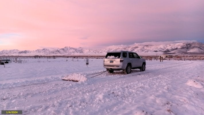
I get by using a 6' length of railroad rail with a chain and round thingy tossed over my trailer hitch to plow my snow. It just sits in a spot by my east end of my driveway and gets used when I need to clear some brush, drag the driveway or plow snow.
I get by using a 6' length of railroad rail with a chain and round thingy tossed over my trailer hitch to plow my snow. It just sits in a spot by my east end of my driveway and gets used when I need to clear some brush, drag the driveway or plow snow.
Attachments
Last edited:
Interesting snow removing tool.That just means that it won't snow at your house.
I get by using a 6' length of railroad rain with a chain and round thingy tossed over my trailer hitch to plow my snow. It just sits in a spot by my east end of my driveway and gets used when I need to clear some brush, drag the driveway or plow snow.
Frank
Sagebrush Reconnoiterer
The Historian
A friend of mine is a life long railroad employee (now retired). We put together that drag more than a dozen years ago. He didn't use it much, as his property is more rocky than mine. So when I purchased my property in 2021 I brought it down and used it extensively to establish my driveway route, yank out greasewood and sagebrush, and this past winter found it useful to plow snow.
Snow seldom gets more than a couple feet deep around here; so I don't feel the need of payments for a tractor, ATV or UTV with a snow plow.
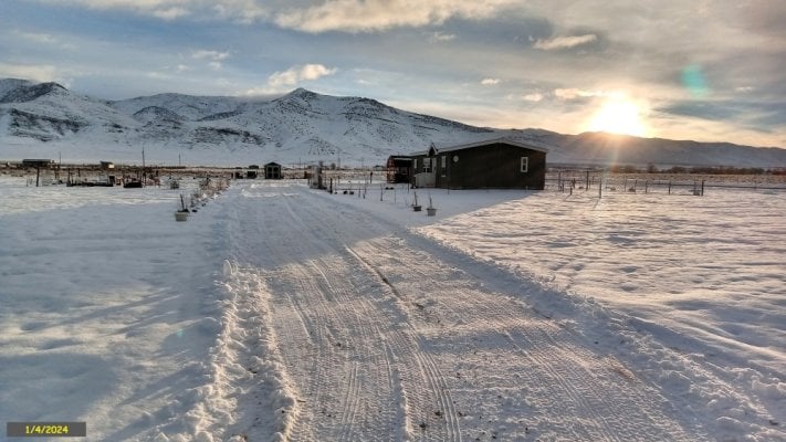
I plow my driveway system, plus the two streets that run along my property. They are dirt streets, thus not plowed by the county.
Snow seldom gets more than a couple feet deep around here; so I don't feel the need of payments for a tractor, ATV or UTV with a snow plow.
I plow my driveway system, plus the two streets that run along my property. They are dirt streets, thus not plowed by the county.
Sagebrush Reconnoiterer
The Historian
Occidental
Trail Master
First frost of the fall here above the south fork of the Clearwater this morning. Still nice enough for the morning walk.
You really do live in one of the best places on earth! Many fond memories -- and you are just a short way from the Magruder Trail. And not so far from Syringa -- which is some sort of ideal place in my mind. There used to be a place in Elk City that served enormous pancakes -- don't know if it still there.First frost of the fall here above the south fork of the Clearwater this morning. Still nice enough for the morning walk.
Enough noise in the gutters that we've started looking at weather radar. Perhaps we are turning a corner. Maybe not.
.DISCUSSION...
Key Points:
-First notable precipitation event of the Water Year will bring
TWO WAVES of widespread measurable rainfall and mountain snow
accumulations continuing today thru Saturday.
-First Wave (Through this afternoon/evening), Second Wave (Friday
PM-Saturday)
-Following this system, north winds increase through the Valley on
Sunday & Monday
-A Winter Weather Advisory has been issued for elevations greater
than 6000 feet in the northern Sierra until 5 PM Today. Snow
levels will start around 5000 feet this morning before rising to
around 6000 feet throughout the day
The first wave of our first notable precipitation of the Water
Year has begun across NorCal. Currently seeing light rainfall
returns on RADAR across the Valley and Foothills, with some light
snow showers in the Sierra. Total rainfall accumulations at the
time of this writing range from a trace to around 0.15", with the
higher totals in the northern Sacramento Valley, specifically at
Redding AP. This wave of precipitation is expected to continue to
move off to the east-northeast through the morning hours, then a
brief break in precipitation will occur this afternoon/evening,
with some lingering rain showers possible in the northern Sac
Valley. Some lingering upslope mountain snow showers across the
Sierra will also be possible during this "break."
On Friday, another wave of precipitation will rotate around a Gulf
of Alaska low pressure and eject another trough into the region.
This second wave still has some uncertainty regarding track;
mainly if the second wave takes a more easterly trek we would
likely see less precipitation. The second wave of precipitation
may also bring some isolated thunderstorms across the Valley and
Foothills, with the NBM showing around a 10% chance for the
aforementioned locations. Any t-storms that do form will have
dangerous lightning, heavy rainfall, gusty erratic winds.
Overall rainfall and snowfall totals have trended slightly down
this morning, although potential impacts remain the same. Snowfall
totals in the Sierra are forecast to be around 6-12" inches
through Saturday, on top of what has already fallen. Rainfall
totals will range from an additional 0.50" inches to 2.00" inches,
with the lower totals over the Central and Southern Sacramento
and Northern San Joaquin Valleys. Snowfall totals across the
Sierra are still trending at around 4-12" inches, with the higher
totals at the peaks. Snow levels look to fluctuate around
5000-6000 feet when precipitation is forecast.
In terms of products, the Winter Weather Advisory until 11PM
tonight is still active, however with the "break" in widespread
precipitation likely occurring later this morning/afternoon, we
may end the advisory early. With the second wave of moisture
moving in Friday PM, we are considering another advisory to
capture that event. Stay tuned to our social media accounts and
visit weather.gov/sto for forecast updates.
Finally, on Sunday as the trough ejects further east, gusty
northerly winds will develop across the area. Northerly wind
gusts of 30 mph will be possible, with the strongest winds along
the I-5 corridor and Delta. Latest NBM probabilities of 30mph
gusts or more for the mentioned areas are around 40-80%. Fire
weather risks should be lowered thanks to the widespread rainfall
in the forecast, but we will monitor conditions as we move
through the rest of the week.
&&
.EXTENDED DISCUSSION (Monday THROUGH Thursday)...
EPAC upper ridging builds into NorCal next week as upper troughing
digs into the Great Basin. This pattern will result in dry weather
with gusty north to east next Monday into early Thursday.
Depending on amount of precip this week, locally elevated fire
weather conditions might be a concern later next week. High
temperatures gradually warm through the extended period returning
to near normal next Thursday.
craig333
Riley's Human
My rain gauge says we got a quarter inch of rain. I'm skeptical we got that much. Not complaining though, any is better than nothing.
Sagebrush Reconnoiterer
The Historian
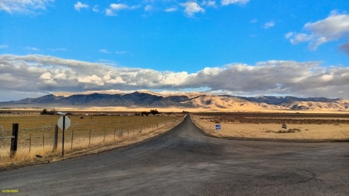
Over here, NOAA shows that 0.06" fell this morning between 0330 and 0530 at the airport in Winnemucca. The mountains are white down to about 5,000', or about 600' above my home. Snowfall wasn't consistent, as some areas look to have received only a dusting, while other places obviously received more. As for the monthly rainfall totals, Winnemucca is right at average.
Similar threads
- Wandering Sagebrush
- All Terrain Camper Discussions
- Replies: 2
- Views: 479
- Wandering Sagebrush
- Electrical, Charging, Solar, Batteries and Generat
- Replies: 10
- Views: 758
- Wandering Sagebrush
- All Terrain Camper Discussions
- Replies: 3
- Views: 484
Try RV LIFE Pro Free for 7 Days
- New Ad-Free experience on this RV LIFE Community.
- Plan the best RV Safe travel with RV LIFE Trip Wizard.
- Navigate with our RV Safe GPS mobile app.
- and much more...


