pvstoy
Senior Member
Short Weekend FWC and 2 Eastern Sierra Peaks
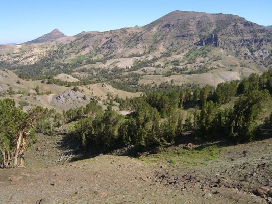
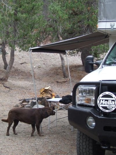
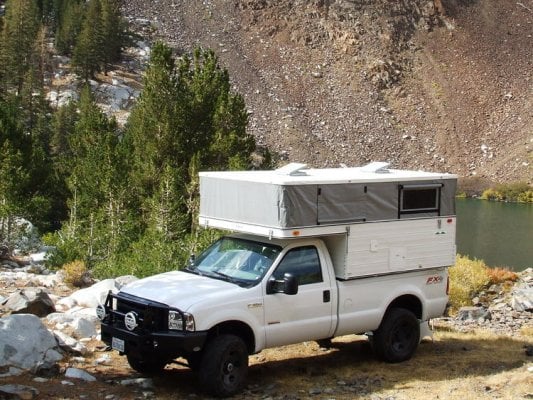
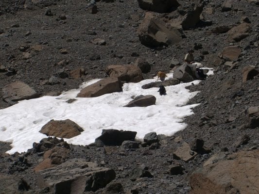
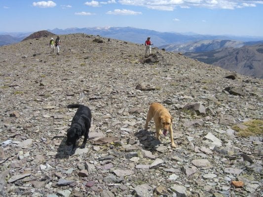
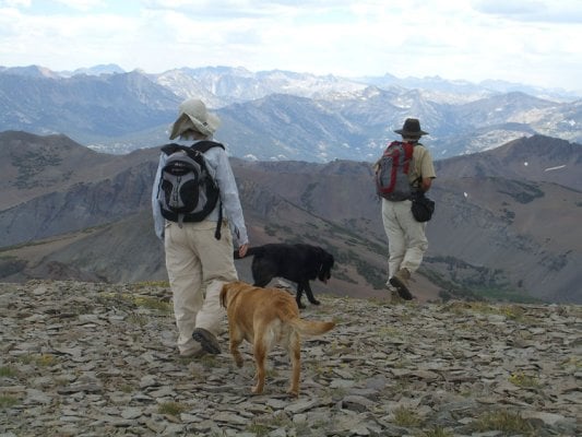
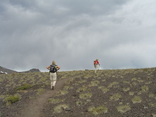
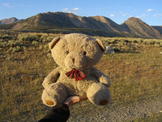
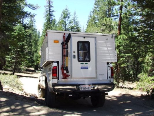
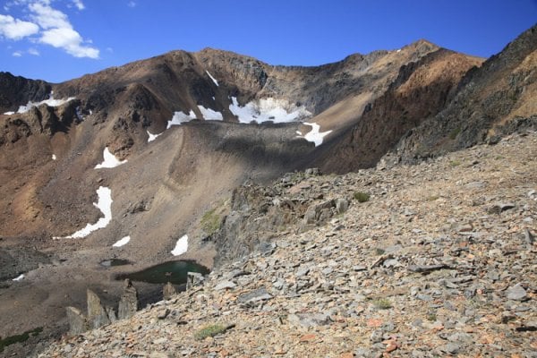
Sat., Aug. 16 We met a couple of friends (& intrepid dogs Angus and Amber) this morning in Carson City and drove to Sonora Pass for a day hike of Leavitt Peak (11,569'). We started hiking to beautiful sunny skies and some wind. The Pacific Crest Trail crosses Sonora Pass here at 9,624’. Even saw a FWC parked at the pass with Calif plates. We ambled along, sweating our way uphill across a big bowl, then traversing north on a nearly level trail. We crossed over one basin to the east, dropped down a bit and then climbed to a gunsight pass.
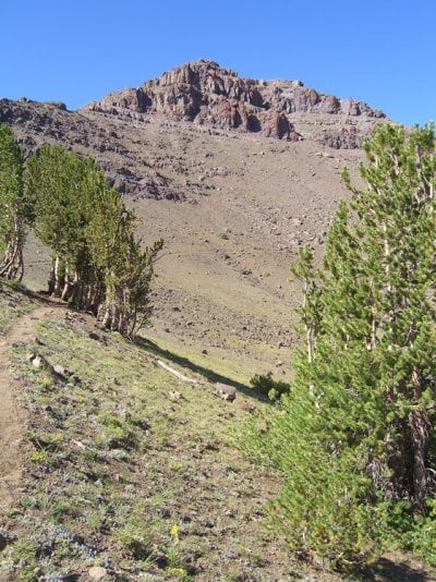
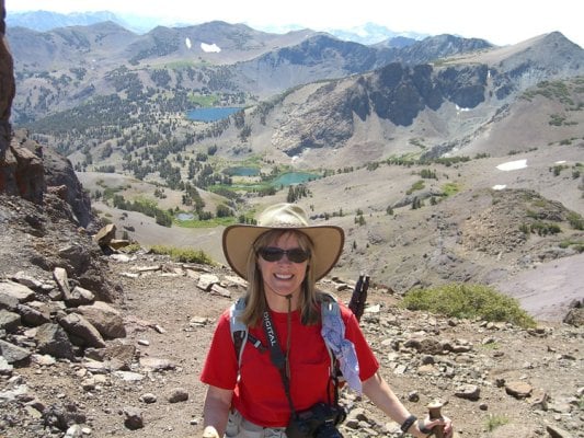
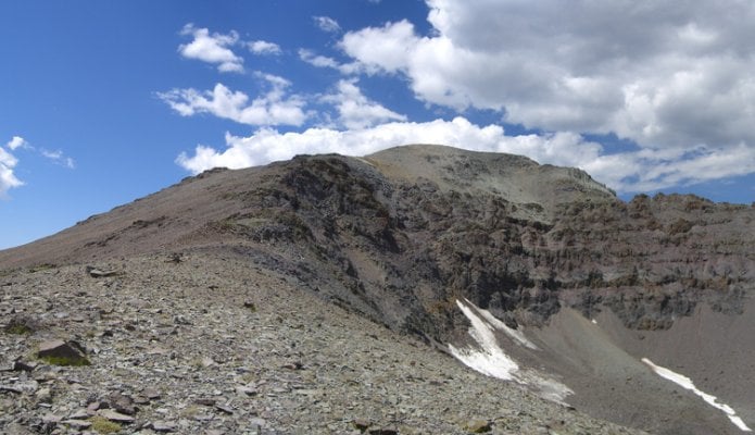
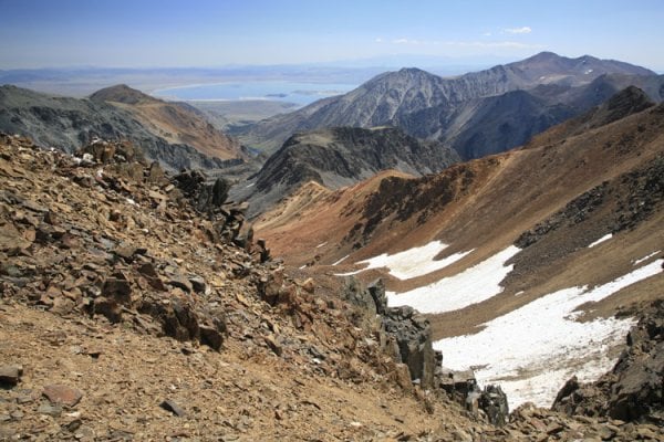
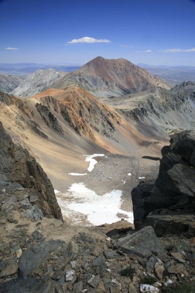
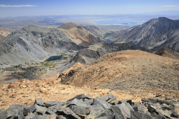
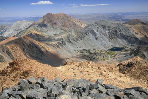
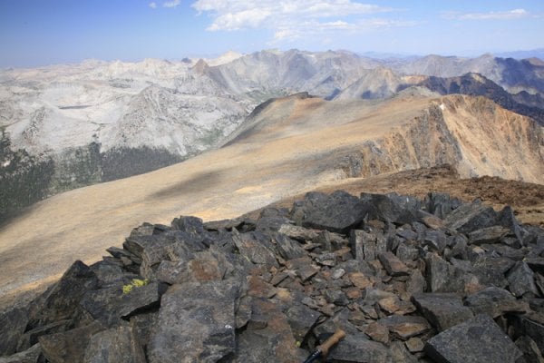
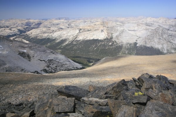
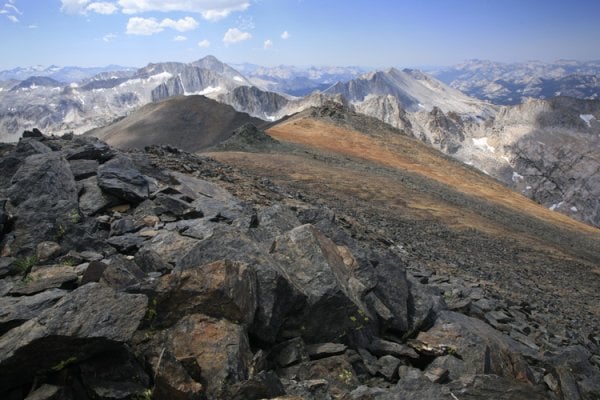
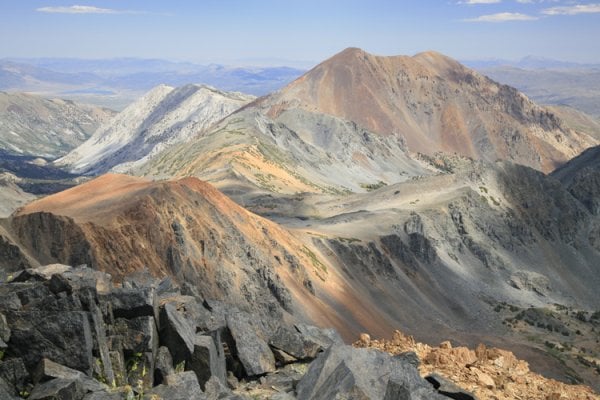
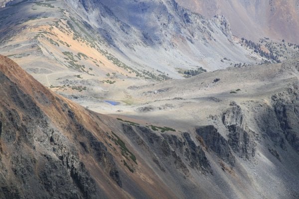
Some clouds were building but nothing threatening. We traversed around to the west, then left the PCT to climb cross country to the west across talus to a saddle. From there it looked like a long way to the summit but it only took about 30 minutes; our total time was a little less than 3½ hours to the top. Tremendous views from the summit, all the way south to Mt. Ritter and Banner Peak, and for miles in every direction. It was surprisingly cool on top, and most our lunch we were in the shade as the clouds built and we could see virga to the south.
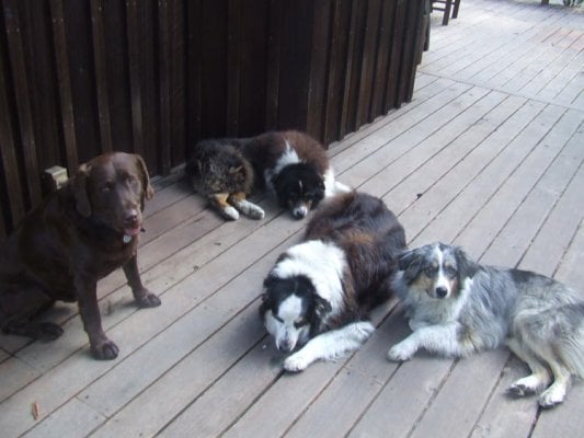
We started down, hoping to get down before the rain and lightning. We could hear a lot of thunder but didn’t see any lightning. We made it to the gunsight pass, and continued back to the traverse, under cloudy skies. Our friends took the shortcut down and made it back to the cars in about 30 minutes. We took the traverse through the bowl and got back in about 40 minutes, so 2:40 total to go down. We never did get rain, and it looked like it was clearing up a bit. We parted ways, our friends and 2 pooped pups returning to Carson City, We went off to Virginia Creek Settlement for dinner.
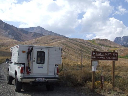
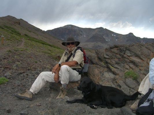
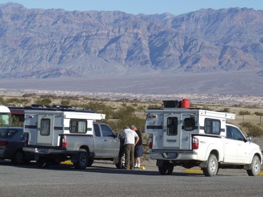
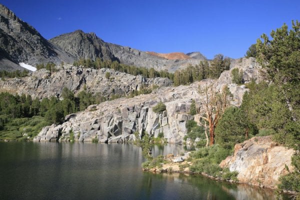
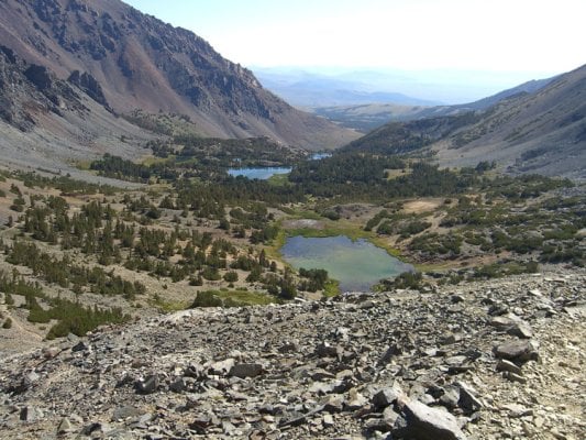
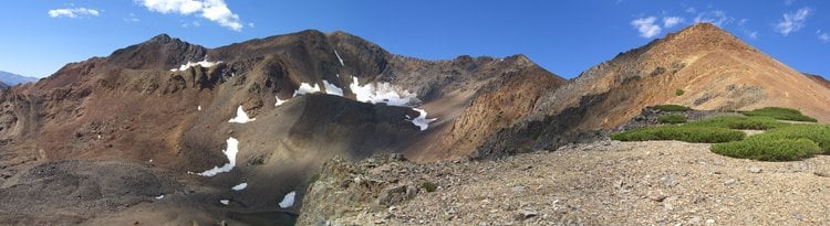
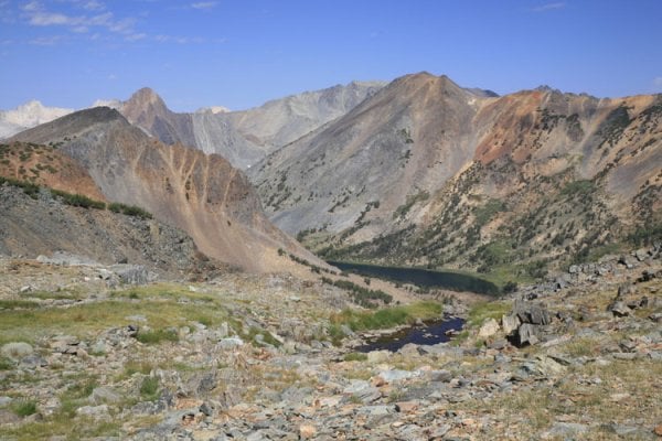
We had planned to try climbing Mt. Morrison on Sunday, but the thunderstorms were supposed to be stronger tomorrow and we’re a bit pooped so we decided to try climbing Excelsior Mtn. from Virginia Lakes instead. We camped off the Dunderberg Road at a nice site out in the open with good views in every direction. No rain fell on us today.
Sat., Aug. 16 We met a couple of friends (& intrepid dogs Angus and Amber) this morning in Carson City and drove to Sonora Pass for a day hike of Leavitt Peak (11,569'). We started hiking to beautiful sunny skies and some wind. The Pacific Crest Trail crosses Sonora Pass here at 9,624’. Even saw a FWC parked at the pass with Calif plates. We ambled along, sweating our way uphill across a big bowl, then traversing north on a nearly level trail. We crossed over one basin to the east, dropped down a bit and then climbed to a gunsight pass.
Some clouds were building but nothing threatening. We traversed around to the west, then left the PCT to climb cross country to the west across talus to a saddle. From there it looked like a long way to the summit but it only took about 30 minutes; our total time was a little less than 3½ hours to the top. Tremendous views from the summit, all the way south to Mt. Ritter and Banner Peak, and for miles in every direction. It was surprisingly cool on top, and most our lunch we were in the shade as the clouds built and we could see virga to the south.
We started down, hoping to get down before the rain and lightning. We could hear a lot of thunder but didn’t see any lightning. We made it to the gunsight pass, and continued back to the traverse, under cloudy skies. Our friends took the shortcut down and made it back to the cars in about 30 minutes. We took the traverse through the bowl and got back in about 40 minutes, so 2:40 total to go down. We never did get rain, and it looked like it was clearing up a bit. We parted ways, our friends and 2 pooped pups returning to Carson City, We went off to Virginia Creek Settlement for dinner.
We had planned to try climbing Mt. Morrison on Sunday, but the thunderstorms were supposed to be stronger tomorrow and we’re a bit pooped so we decided to try climbing Excelsior Mtn. from Virginia Lakes instead. We camped off the Dunderberg Road at a nice site out in the open with good views in every direction. No rain fell on us today.