Wow Ski great info.Nice to see just how many of the arrows are left.
Frank
Frank
We don't find out unless we go out and look.Casa Escarlata Robles Too said:Wow Ski great info.Nice to see just how many of the arrows are left.
Frank
")
Come on up!ski3pin said:Oregon Ozzy, great stuff! That is on the Elko, Nevada to Pasco, Washington route - Contract Air Mail Route 5.
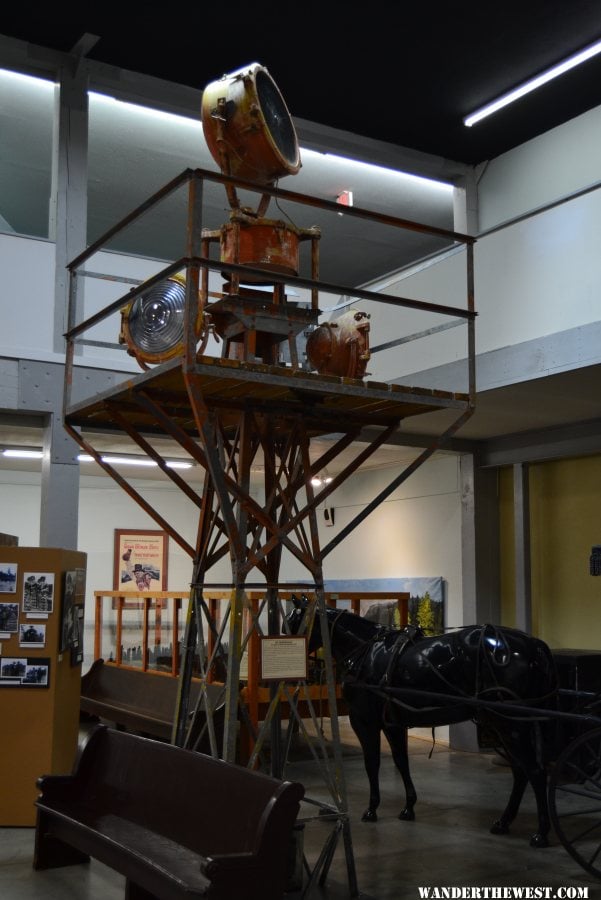
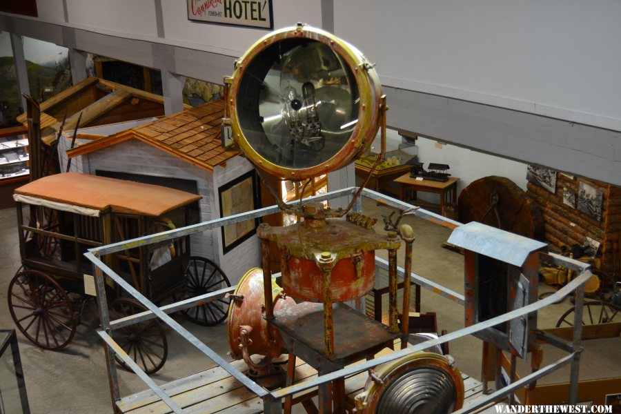
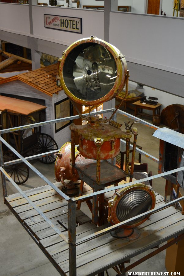
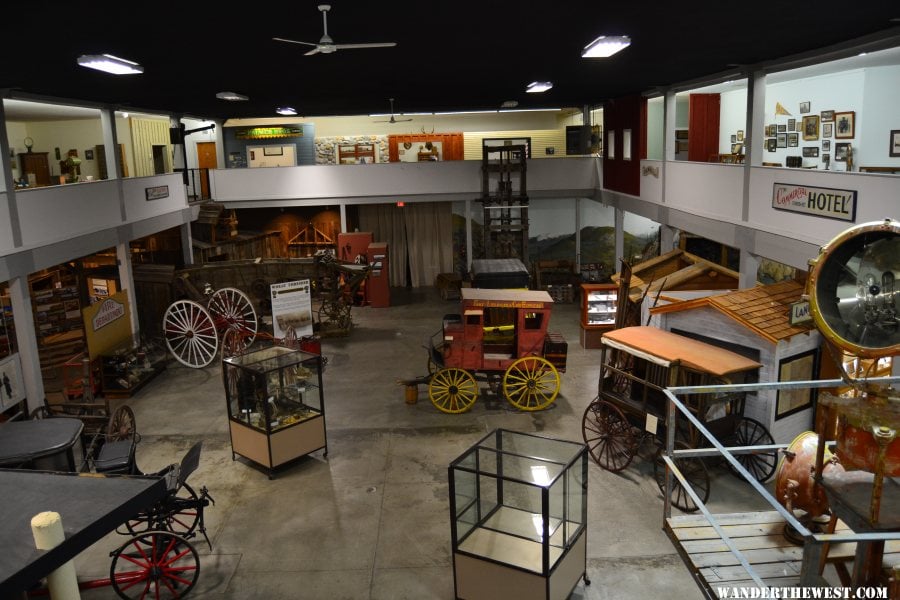
Very nice that the Baker City Museum has this display. We must get up there. I believe we have a friend we can visit there too!

Jack, thanks for the nice comment and the photo of the beacon on the San Francisco - Seattle Airway!Jack said:Thanks for your fascinating travelogue and amazing background information. And Foy's comment made it even richer.
It was sufficiently engrossing that I followed one of the links to find that Portland has an extant tower that was on the Seattle - San Francisco route. . It was electric, and probably run off the city grid. You can't really get close enough to see how much of the arrow is left; clearly, a good part of it has been removed.
Air Mail Tower.jpg
This it?DavidGraves said:Howdy
Unsure if it has been mentioned but I just noticed a Beacon, very similar in appearance, at an old truck stop alongside Rt I-80 in Green River, Wyoming.......
It has been elevated I think, and perhaps formed a "billboard" for the old motel, garage and, later, fuel stop.....
Of course, I80 lies concurrent with old Rt 30 and likely older stage routes and the short lived Pony Express mail route here.
David Graves
That's way cool to see the route map in an area one is very familiar with. Dubois, ID is on I-15 just south of the MT-ID border at Monida, MT (clever name, eh? On the ID side there's a community of Idamon).ski3pin said:For those of you traveling Interstate 15 in Idaho, there is a restored beacon site on the Salt Lake - Great Falls airway at the site of the Dubois Department of Commerce Intermediate Landing Field (now Dubois Municipal Airport). The location is 44° 10.131'N 112° 13.461'W.