Vermillion Cliffs April 2012

BillM

Senior Member
Joined
Dec 12, 2009
Messages
293
Location
Reno
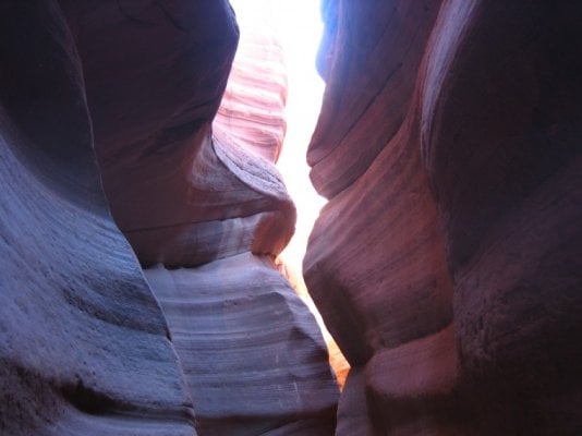
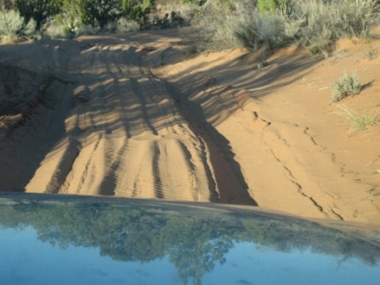
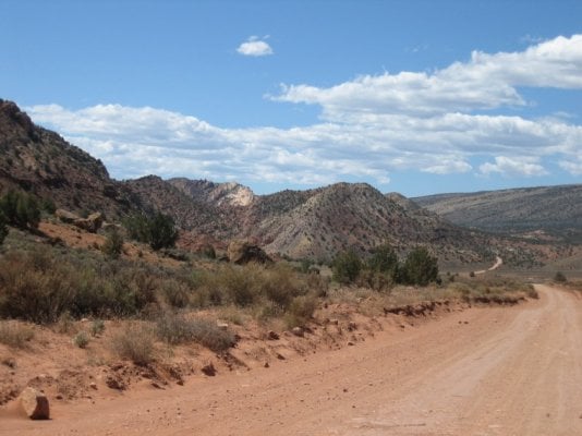
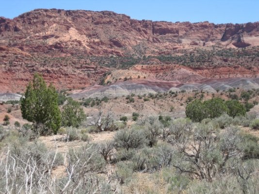
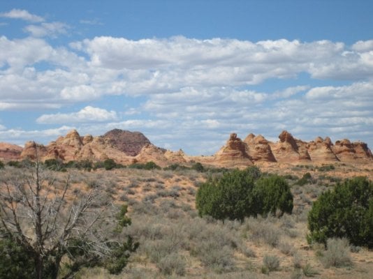
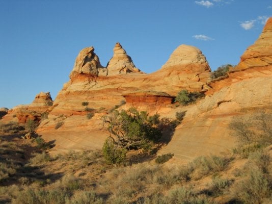
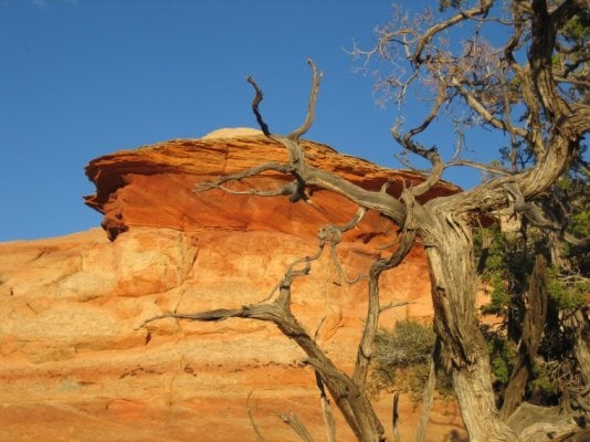
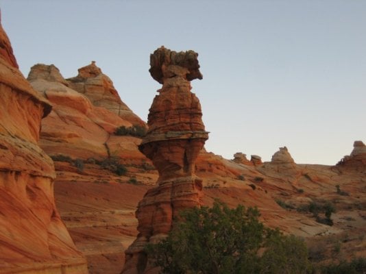
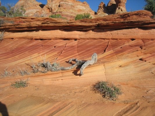
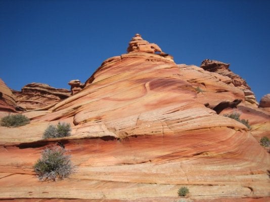
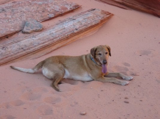
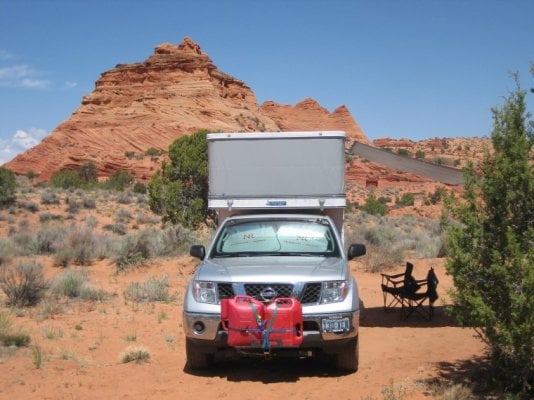
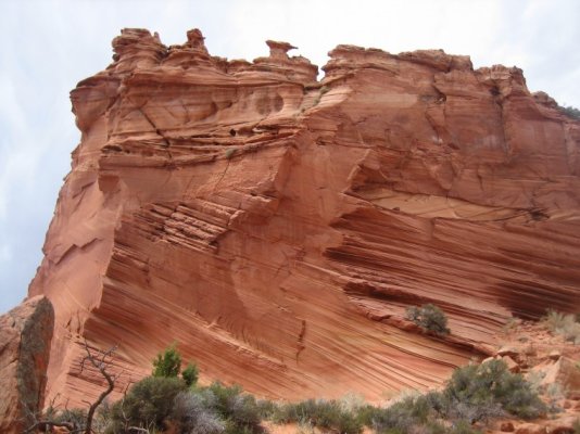
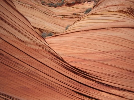
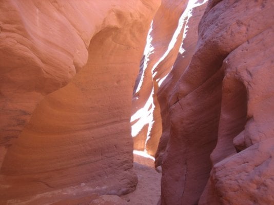
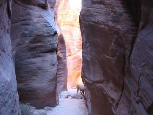
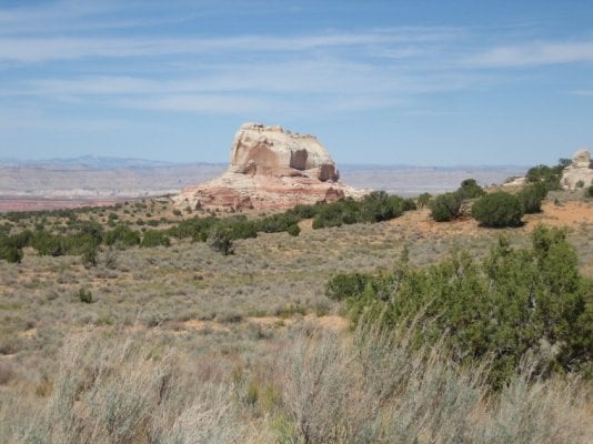
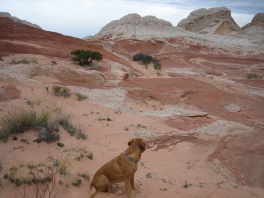
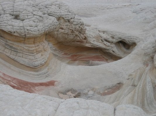
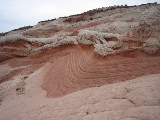
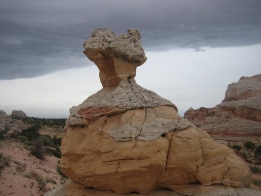
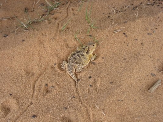
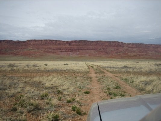
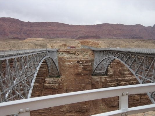
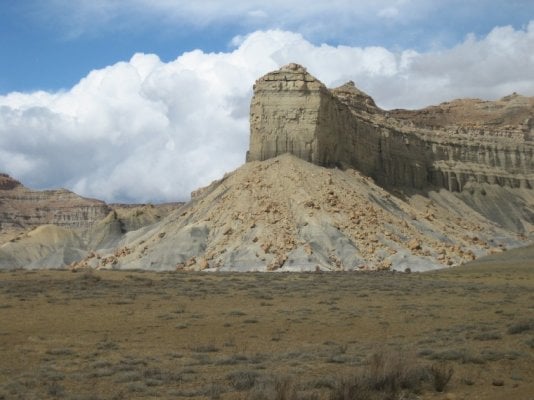
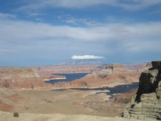
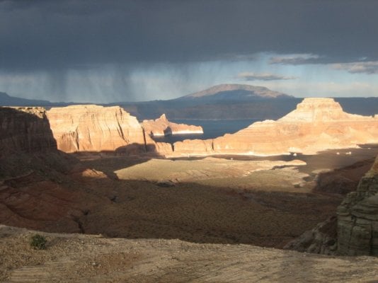
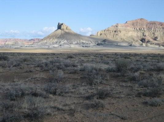
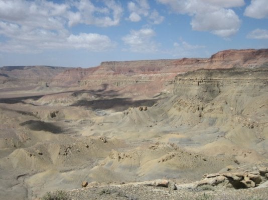
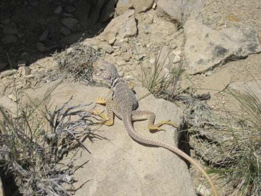
Spent the last part of April in Northern AZ / Southern Utah exploring the Vermillion Cliffs and part of the GSENM. Drove out from Reno via 95 and Tonopah then east on Hwy 6 to the Extraterrestrial Hwy. Spent the first night west of Caliente and then drove into Kanab via Enterprise, St George, and Hurricane. Went to the visitor center and found we couldn't get a permit for Coyote Buttes South in Vermillion Cliffs until the next day. Drove up to a slot in Red Canyon north of Kanab to do a hike and spend the night. phpWlTe6vPM.jpg
 

Attachments

  • v2.jpg
    v2.jpg
    81.4 KB · Views: 124
Next day driving out we had to air down to 25 psi to get through some deep sand. Got our permit in Kanab and headed east to the cockscomb and the intersection with House Rock Valley Road which we took south to our turn off for Cottonwood Cove in the Coyote Buttes South permit area. Saw some cool colors along the way.
 

Attachments

  • v3.jpg
    v3.jpg
    99.9 KB · Views: 127
  • v4.jpg
    v4.jpg
    120 KB · Views: 128
  • v5.jpg
    v5.jpg
    198.6 KB · Views: 118
Got to the Cottonwood Cove trailhead, set up camp and took an afternoon/evening hike.
 

Attachments

  • v7.jpg
    v7.jpg
    118 KB · Views: 117
  • v8.jpg
    v8.jpg
    129.1 KB · Views: 101
  • v9.jpg
    v9.jpg
    149 KB · Views: 112
  • v10.jpg
    v10.jpg
    90.4 KB · Views: 103
Next morning we hiked into the South Buttes area. Incredible colors and formations. It heated up into the 80's and the dog took advantage of every shaded spot and the cool sand.
 

Attachments

  • v11.jpg
    v11.jpg
    145.3 KB · Views: 106
  • v13.jpg
    v13.jpg
    117.9 KB · Views: 113
  • v14.jpg
    v14.jpg
    97.8 KB · Views: 115
After our morning hike we headed over to Paw Hole and set up camp for an evening hike. More great formations and color.
 

Attachments

  • v15.jpg
    v15.jpg
    134.7 KB · Views: 159
  • v16.jpg
    v16.jpg
    131.4 KB · Views: 147
  • v17.jpg
    v17.jpg
    153.6 KB · Views: 138
Next day we drove back out to House Rock Valley road and north to the Wire Pass Slot Canyon Trailhead. Hiked the slot down to the junction of Buckskin Gulch and then upstream a mile or so in Buckskin narrows. After the slot hike we drove back east on the Paria Plateau over deep sandy roads to an area called the White Pocket.
 

Attachments

  • v18.jpg
    v18.jpg
    89.8 KB · Views: 115
  • v19.jpg
    v19.jpg
    110 KB · Views: 128
  • v20.jpg
    v20.jpg
    134.6 KB · Views: 114
Spent a windy night at the roads end and then hiked into the White Pocket. We were immediately immersed in an otherworldly scene of brain rock, melted icecream, moqui stones, hoodoos and every shade of red, yellow and white imaginable. This area was the highlight of the trip and is well worth visiting.
 

Attachments

  • v21.jpg
    v21.jpg
    116.1 KB · Views: 122
  • v22.jpg
    v22.jpg
    105.8 KB · Views: 134
  • v24.jpg
    v24.jpg
    115.2 KB · Views: 121
  • v25.jpg
    v25.jpg
    86.4 KB · Views: 129
Drove out from the White Pocket that afternoon and saw a horny toad as we were airing up our tires. On the way out we fortunately took a wrong turn and 5 miles down the wrong road came across a gal in a Honda Civic stuck in the sand 40 miles from the nearest pavement. Talk about luck, she had only been stuck for 30 minutes when we pulled her out and down the road to a ranch where she could turn around. The ranch looked like someone was using it, the windows were intact but no one was home. The cat was friendly and looked healthy, we petted it, filled it's water bowl and followed the Honda back to House Rock Valley Road where we turned south to ALT89. Saw some condors along the cliffs and headed up a two track to spend the night.
 

Attachments

  • v26.jpg
    v26.jpg
    182.2 KB · Views: 136
  • v27.jpg
    v27.jpg
    130.9 KB · Views: 155
  • v28.jpg
    v28.jpg
    106.4 KB · Views: 135
In the morning we headed east and crossed the Colorado at the Navajo Bridge. Went to Page where we got gas, ice and beer and then went to Big Water and picked up the Smoky Mountain Road. Went up Smoky to a side road that took us to a high rim overlooking Powell. Got a thunderstorm and some incredible light at sunset, awesome views.
 

Attachments

  • v29.jpg
    v29.jpg
    123.5 KB · Views: 131
  • v30.jpg
    v30.jpg
    115.8 KB · Views: 116
  • v31.jpg
    v31.jpg
    90.7 KB · Views: 125
  • v32.jpg
    v32.jpg
    100.5 KB · Views: 128
Headed back to Smoky Mountain road and climbed the steep grade up onto the Kaiparowits Plateau. Beautiful views from up top. Then continued north and camped 10 miles or so south of Escalante. Saw a cool collared lizard along the way. Have to say the 50 miles north of the rim was not the most scenic and was rough/slow going. Would probably not do the whole Smoky Mountain road again although the south section to the rim is worthy. From Escalante we headed NW to Baker and Ely. Spent the night near our favorite Hotspring tub and had two great soaks. Then home and back to work, UGH!
 

Attachments

  • v33.jpg
    v33.jpg
    119.9 KB · Views: 115
  • v34.jpg
    v34.jpg
    121.6 KB · Views: 115
  • v35.jpg
    v35.jpg
    186.9 KB · Views: 128
Thanks for sharing!

How was the road out to White Pocket?

I was in Vermillion Cliffs in the spring of 2011, would like to be there now as ''mud'' season is getting old here in the far north.
 
That area of Utah, well all of Utah, is just outstanding. Thanks for the post and pictures. White Pocket should be on everyones bucket list. You wonder what some people are thinking, the Civic stuck is such a area. Lucky for her, good on you.
 
The roads into White Pocket were deep and sandy, we had to air down to 20 psi to get back out.


Thanks for sharing!

How was the road out to White Pocket?

I was in Vermillion Cliffs in the spring of 2011, would like to be there now as ''mud'' season is getting old here in the far north.
 
I just got around to reading this report after being away for a few days. Great stuff -- love that bare rock!
I've been near that area -- along the Escalante a year ago, but not in the area you feature...something for me to check out next spring, perhaps.
Thanks for sharing, Bill! :)
 
Back
Top Bottom