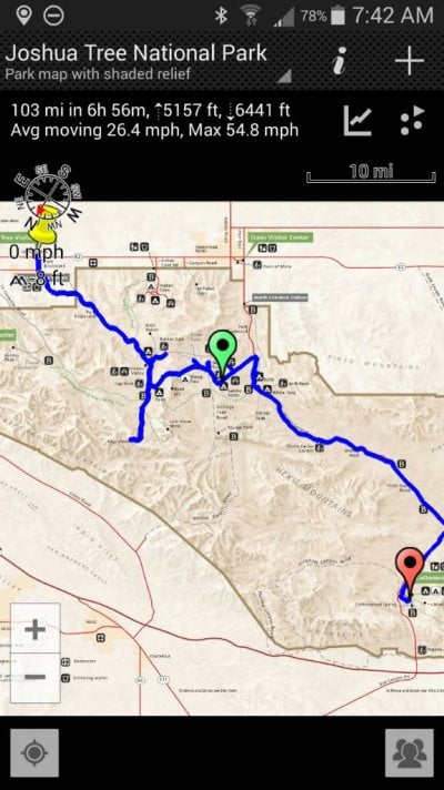
I have used Delorme navigation tools with a laptop PC for navigation in the past, it works good. Am currently using GaiaGPS with a IPad, one with a built in GPS and as much memory as I could buy when it was new. I prefer the Gaia GPS. There is an app for apple product and android products now. Lots of different map types and sources available, can be downloaded and stored on the iPad before a trip to remote places where there are no cell or wi-fi sites. Unique maps are the 1930 USCGS maps and 1910 UCSGS maps, interesting if you are a history buff. Also the old national parks maps include Death Valley outback map, Anza Borrego state park ECT.... You can stack the maps and vary their intensity if desired. Does routes, tracks, waypoints...has folders for your data...latest software update took away all of my Problems with the app. Also use Avenza PDF maps, a great source for small specific maps. It also offers waypoints, tracks...
So many good navigation tools out there these days. I also carry paper maps and a compass, can use them as I did for years in the past. But the abiliyy to put an arrow on your current location and track your progress and plan routes in advance thru areas you have never visited makes exploring a new area much more satisfying to me.