daverave
Senior Member
On our recent trip to Montana, we came back via southern Idaho because I had always been curious about the vast area of the CotM national monument that is not NPS administered. We've backpacked in the NP portion previously and really enjoyed the scenery and volcanic environment.
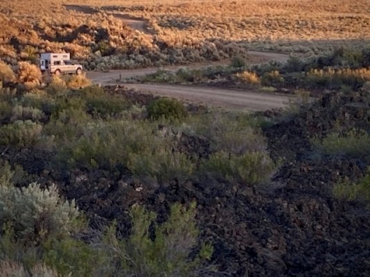
We spent an unfortunate night in a dismal motel in Arco due to very high winds that proceeded us there but the next morning we went to the NPS visitor center. (We drove through the campground which is very tight and generally crowded, close to the highway.) I asked a ranger at an outside info desk if he could help us out with some info on the areas I was interested in and he immediately produced a HUGE map of the entire monument that showed which areas were NPS and which were BLM. The NPS portions were typically the lava flows while the BLM areas were the sagebrush/grassland "parks" in between. Dispersed camping was permitted only on the BLM portions but I figured I could just work on the edges for camping since I was most interested in the lava flows.
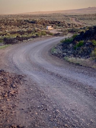
Driving west we turned south on a road that turned into the Laidlaw Road that eventually traverses the entire monument and exits on the southern edge. The lava flow portions were not as impressive as those around the park HQ and the road was bouncy. The "parks" were dedicated to cattle grazing as BLM land often is. There were cattle guards at every transition from lava to park and vice versa.
We drove towards something called Piss Ant Butte which turned out to be a tiny little butte with cattle watering. Another butte to the north also had cattle denizens watering. So we backtracked to the edge of a lava flow and camped there were there were no cattle. In retrospect it wasn't a bad spot for the night and the wind was light fortunately. We hiked a bit on the lava looking for an "Indian Spring" that turned out to be virtually dry. Lava hiking is generally pretty difficult.
There was a surprising amount of ranch traffic which included large trucks for cattle movements and watering trucks. The roads on the parks were typically very dusty and on the lava kind of rocky.
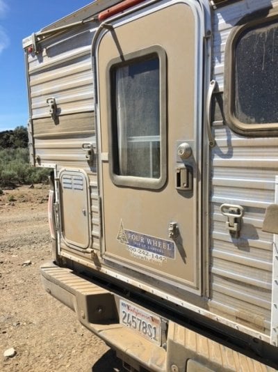
We left the next morning and headed south west back on the highway towards Three Island State Park. We got a much needed truck camper wash on the way there.
Bottom line I'm not sure we'd go back without doing some serious Google Earth research to find someplace worth the trouble, cattle, dust, and traffic. Sometimes not every idea pans out ;-)


