It seems like we've got a good group forming at the Ballarat rendezvous. I'm still planning on arriving at Saline on the 26th for a few days of soaking. We'll look up Gene when we're there, and maybe catch some music if we're lucky.
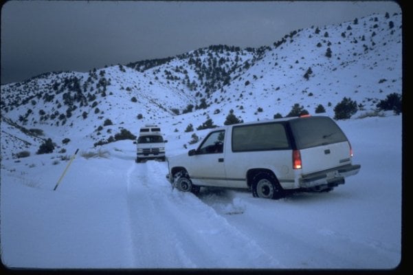
We'll probably do some hiking around the canyons at the foot of the Inyo. Anyone else thinking Saline Valley?
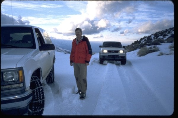
I don't know where y'all are heading from Ballarat, but we're interested in visiting the Race Track probably on the 28th, ideally via Lippencott Road. Seems like Ted mentioned some camping up there. Anyone wants to join in for this or alternately running Steele Pass to visit the dunes on the 28th or 29th, let me know. It would be great fun to rally with more than one vehicle (my usual).
One other place that begs exploration is off Death Valley Rd./Eureka Valley where there's a 25 mi. loop through Papoose Flat. That's a possible detour for us coming from the north, either coming on the 26th or leaving on the 30th.
Of course this is all theoretical once we go off grid. Still, thought I would share some of my ideas and see if anyone else is interested in visiting some of the northwestern parts of DV.
Andy,
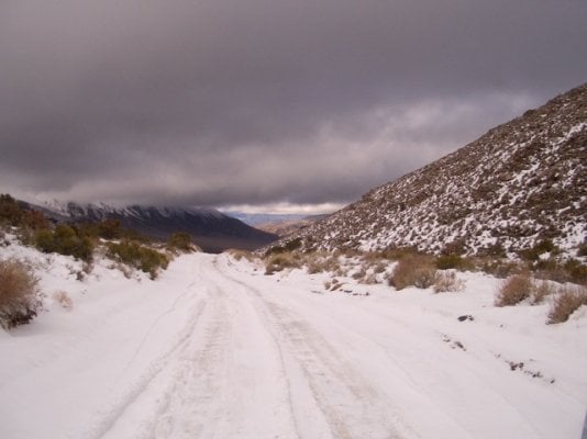
We'll be arriving at Saline on the 28th. We're stayin' there and staying warm in the pools. I've done some winter camping to Eureka Dunes, Race Track and Papoose Flats. Those places can get really cold, especially Papoose Flats. So, maybe we'll see you at Saline. Bob (Deltarat) said he thought he's be coming through Saline as well.
Gene