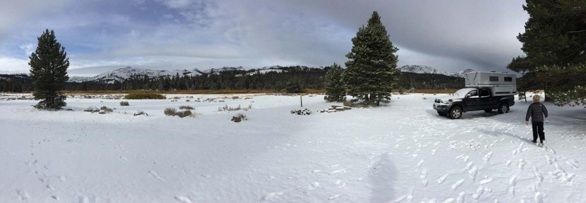
Yep, I have been. It looks like most of the trouble will be to the north, with just a 10% chance of precip in Bishop and Big Pine on the wettest days. But I plan to be back down in the basin level by Thursday night, before the storm is forecast to arrive. Then heading south toward Joshua Tree.ski3pin said:Keep an eye on the approaching storm -
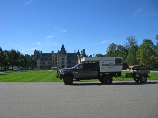
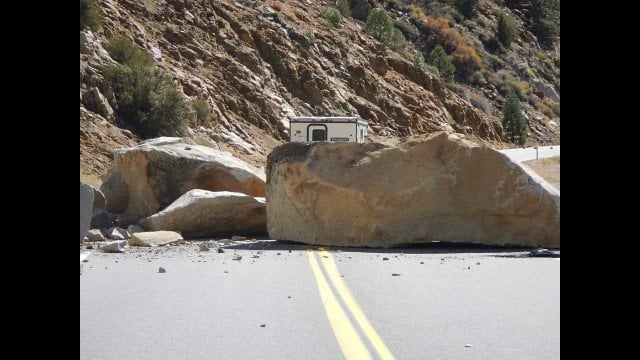
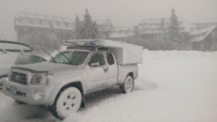
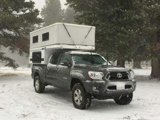
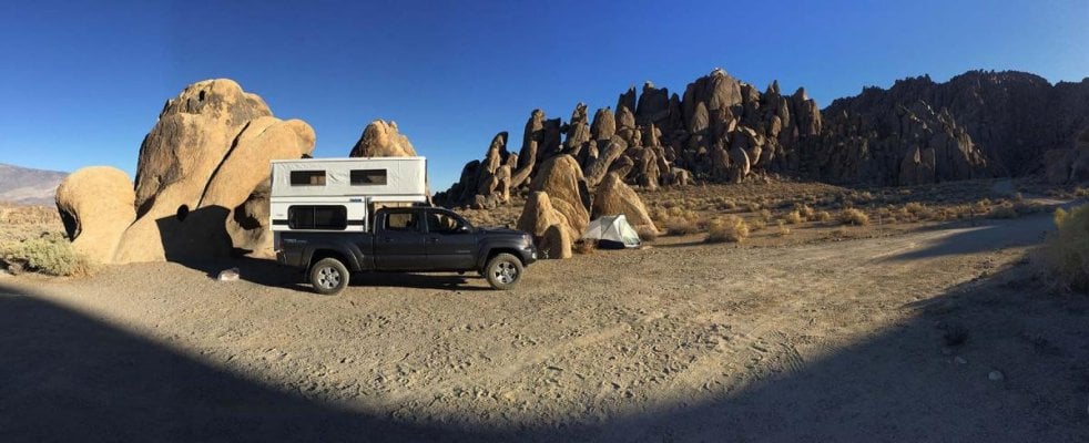
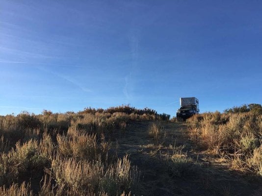
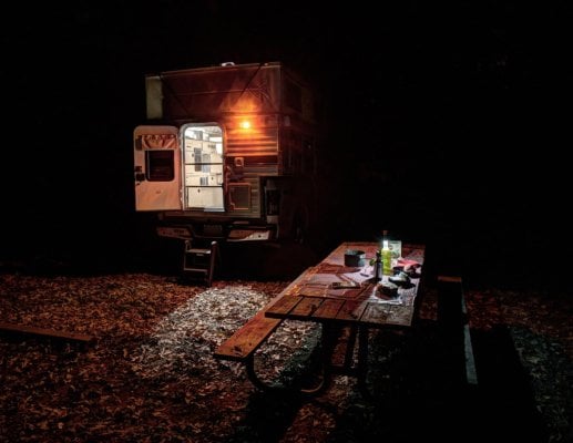
Random FWC Photos
- Thread starter Overland Hadley
- Start date


.jpg")
Similar threads - WTW
- fuse614
- Four Wheel Camper Discussions
- Replies: 5
- Views: 608
- Bradders
- Four Wheel Camper Discussions
- Replies: 10
- Views: 562
- WesAlan
- Four Wheel Camper Discussions
- Replies: 6
- Views: 838
- j_f
- Four Wheel Camper Discussions
- Replies: 10
- Views: 747
- cs0430
- Four Wheel Camper Discussions
- Replies: 26
- Views: 3K