craig333
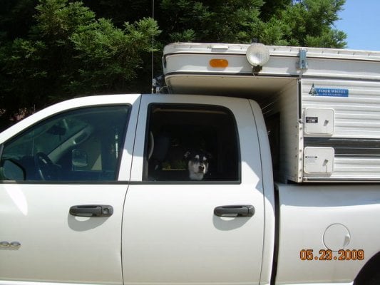
Riley's Human
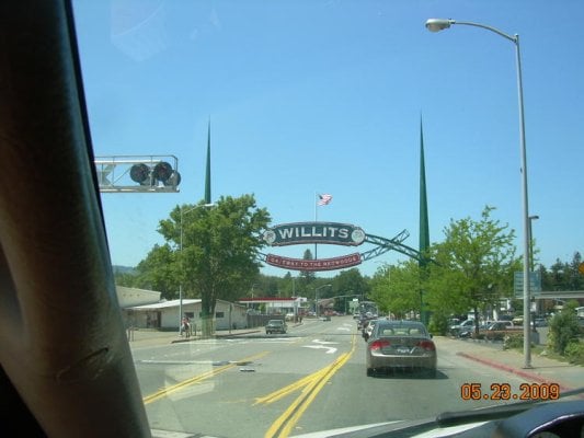
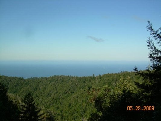
Decided it was time to explore the lost coast. Three day weekend and may is supposed to be one of the best months to go. Took highway 20 to 101 to umm, something to fort bragg. My shoes fell apart on the road down. Did the rest of the trip in flip flops.
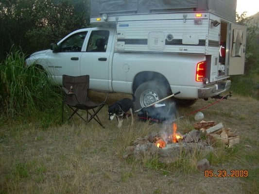
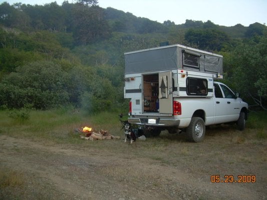
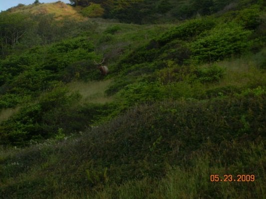
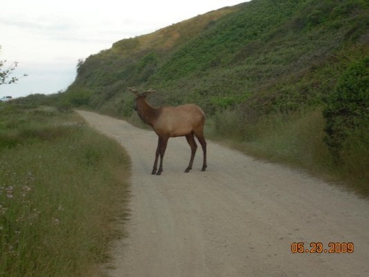
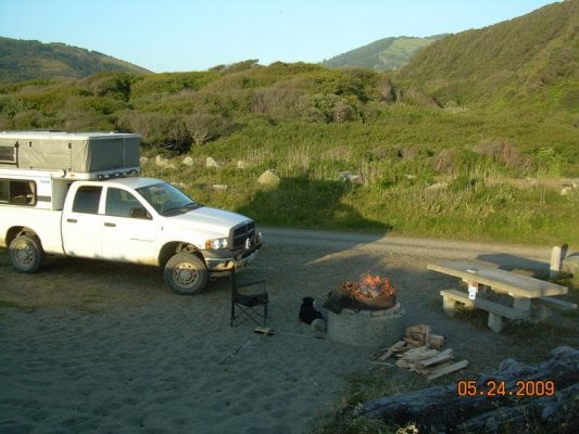
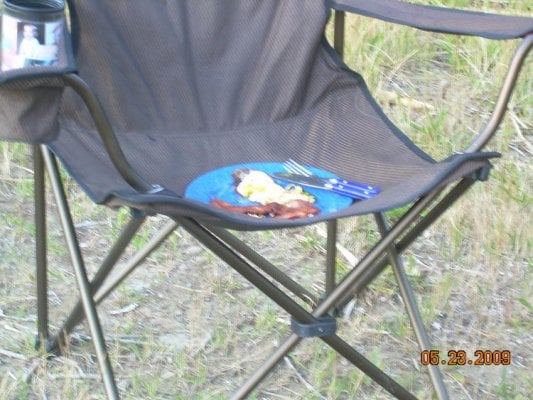
Visited a friend at his cabin in Fort Bragg. Then on to Usal Beach. Had a good number of people there but I still managed to find a decent site. Only one idiot there driving in the river. Quite a few people camped on the beach. No way was I going to try and get my truck out there. The elk got uncomfortably close.
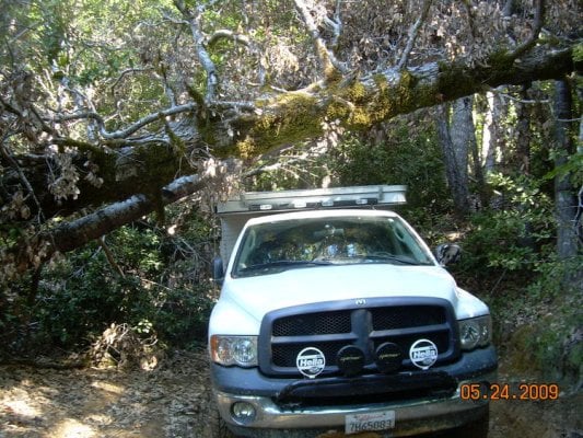
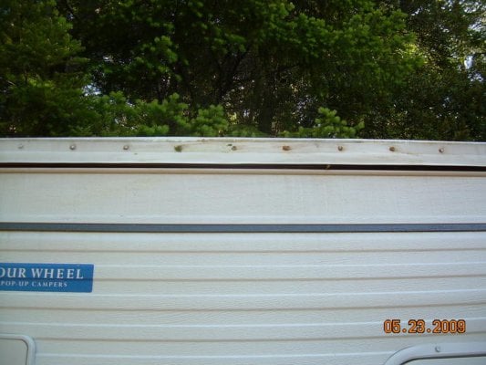
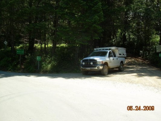
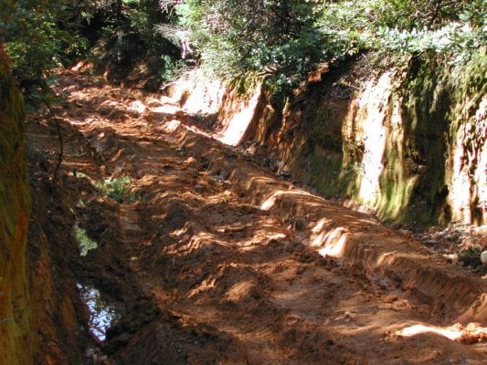
Now the question was, do the Usal Road or go back out and head to Shelter Cove via Redway. I opted to try the road. Its supposed to be doable in two wheel drive (in my Jeep, sure) In retrospect I probably shouldn't have. Pretty risky thing in an area that remote. The worst part was about five miles in (I forgot to reset the odometer so its all approximate). Found a nice stretch with some deep ruts. Still muddy. Figured if I stayed out of the ruts I'd be okay. Of course the truck slides into the ruts anyways, then into the embankment. Thud. Sounds bad. I gun it through and make it. Check for damage. Only some barely noticeable marks on the camper. Phew.
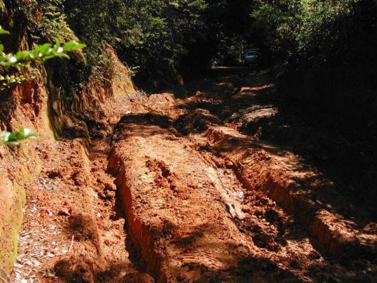
Lots of ruts, some mud, low trees, but no technical challenges. About halfway through I run into a solo motorcylist taking a break. He assures me my rig will do fine. Shortly after that I take a wrong turn and have to turn around. All of a sudden I see the ocean off to my right. Uh oh, the ocean should be off to the left. I somehow got completely turned around. Managed to drive 3-5 miles back. At least this time I found the right turn.
Had three more motorcyclist pass and one Jeep. I was expecting a lot more traffic on memorial weekend.
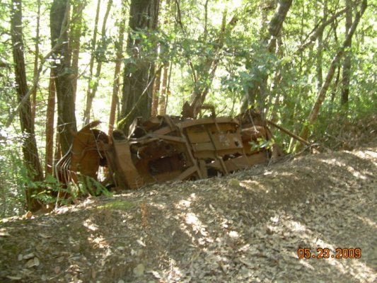
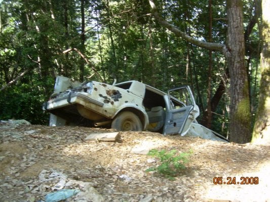
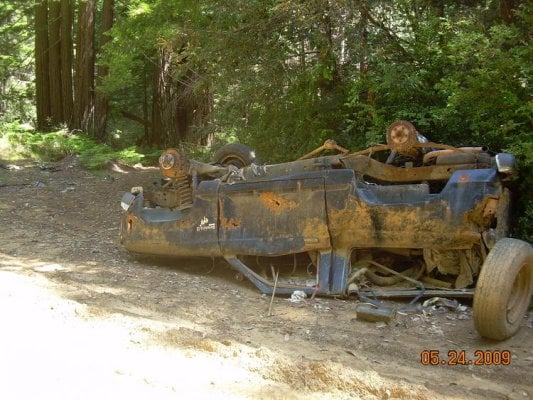
Found a few abandoned vehicles along the way. The broncoII looks like someone probably got hurt pretty bad.
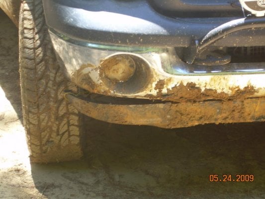
Found one pothole in the road that was deeper than I expected. Tore part of the plastic thing underneath the bumper. Tied it up and continued on.
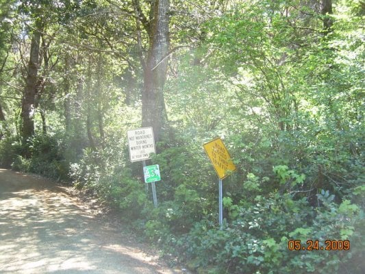
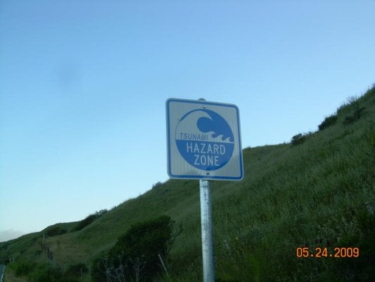
Somehow I lost my map. I thought the trail came out by Whitehorn but I never did figure which way to turn. Have to see Fisherman another time. Toured Shelter cove and black sands beach before heading on over to Mattole campground. Lots more dirt road than I was expecting. I had planned to continue on and head on to take one of the river routes back to I5 but by the time I made it to Mattole it was late and I was tired.
Oh no! Tons of cars lining the road to the campground. Figure I'm out of luck for camping but turns out they were all backpackers. Only four sites taken in the campground.
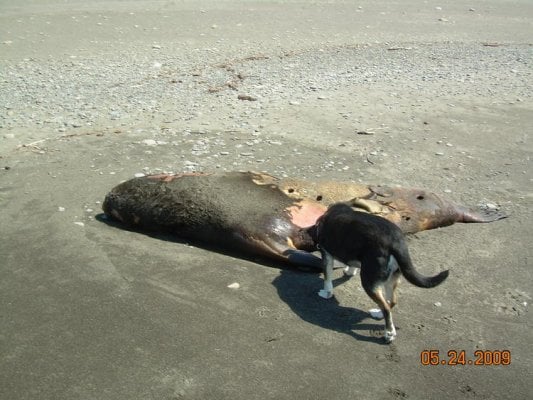
I get an early start and head out through petrolia and ferndale, stopping once to check out the tidepools.
All in all a very interesting trip. Even though I expected slow going it still took more time than I expected.
Visited a friend at his cabin in Fort Bragg. Then on to Usal Beach. Had a good number of people there but I still managed to find a decent site. Only one idiot there driving in the river. Quite a few people camped on the beach. No way was I going to try and get my truck out there. The elk got uncomfortably close.
Now the question was, do the Usal Road or go back out and head to Shelter Cove via Redway. I opted to try the road. Its supposed to be doable in two wheel drive (in my Jeep, sure) In retrospect I probably shouldn't have. Pretty risky thing in an area that remote. The worst part was about five miles in (I forgot to reset the odometer so its all approximate). Found a nice stretch with some deep ruts. Still muddy. Figured if I stayed out of the ruts I'd be okay. Of course the truck slides into the ruts anyways, then into the embankment. Thud. Sounds bad. I gun it through and make it. Check for damage. Only some barely noticeable marks on the camper. Phew.
Lots of ruts, some mud, low trees, but no technical challenges. About halfway through I run into a solo motorcylist taking a break. He assures me my rig will do fine. Shortly after that I take a wrong turn and have to turn around. All of a sudden I see the ocean off to my right. Uh oh, the ocean should be off to the left. I somehow got completely turned around. Managed to drive 3-5 miles back. At least this time I found the right turn.
Had three more motorcyclist pass and one Jeep. I was expecting a lot more traffic on memorial weekend.
Found a few abandoned vehicles along the way. The broncoII looks like someone probably got hurt pretty bad.
Found one pothole in the road that was deeper than I expected. Tore part of the plastic thing underneath the bumper. Tied it up and continued on.
Somehow I lost my map. I thought the trail came out by Whitehorn but I never did figure which way to turn. Have to see Fisherman another time. Toured Shelter cove and black sands beach
before heading on over to Mattole campground. Lots more dirt road than I was expecting. I had planned to continue on and head on to take one of the river routes back to I5 but by the time I made it to Mattole it was late and I was tired.Oh no! Tons of cars lining the road to the campground. Figure I'm out of luck for camping but turns out they were all backpackers. Only four sites taken in the campground.
I get an early start and head out through petrolia and ferndale, stopping once to check out the tidepools.
All in all a very interesting trip. Even though I expected slow going it still took more time than I expected.