You are using an out of date browser. It may not display this or other websites correctly.
You should upgrade or use an alternative browser.
You should upgrade or use an alternative browser.
Rocky Mountain High- Sept '09 Fwc Rally In The San Juans
- Thread starter mtn-high
- Start date
mtn-high
Campground Host- FUNKYTOWN
mtn-high
Campground Host- FUNKYTOWN
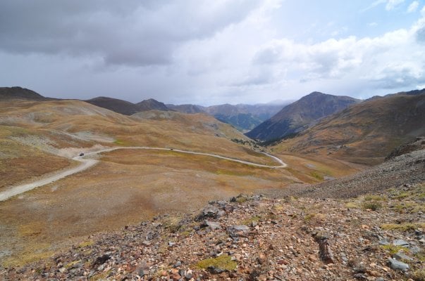
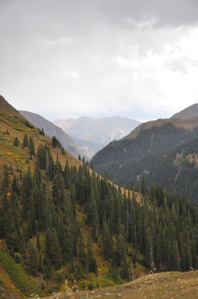
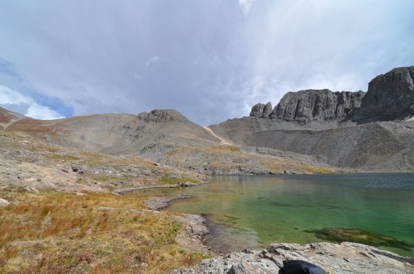
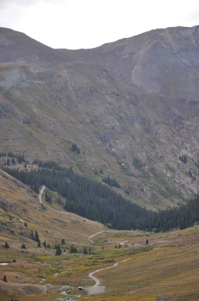
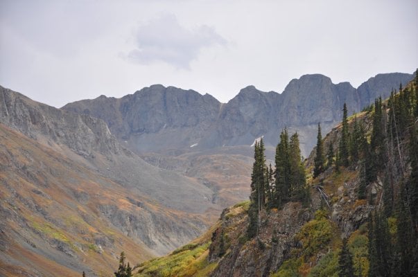
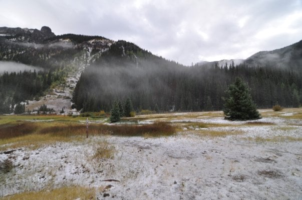
We took a right at the American Basin cutoff and headed up the valley to the trailhead.
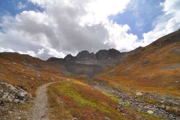
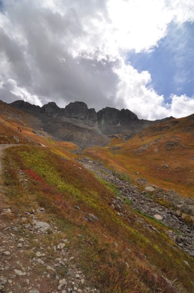
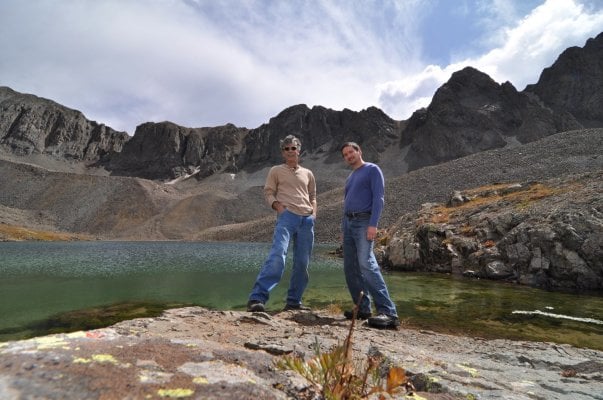
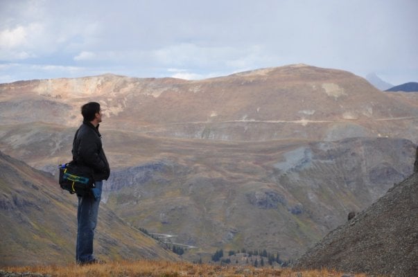
While the rest of the group decided to head on into lake city for lunch, my buddy and I decided that a hike was in order. Such activities (backpacking/hiking) are what we usually do when we get together....so hopefully nobody in the group thought we were ditching them/etc...
After we ate a quick bite, filled the water bottles, and grabbed a few necessities....we hit the trail...
It wasn't all that steep...but the altitude sure let us know of it's presence. huff...puff...gasp....
Attachments
mtn-high
Campground Host- FUNKYTOWN
mtn-high
Campground Host- FUNKYTOWN
mtn-high
Campground Host- FUNKYTOWN
mtn-high
Campground Host- FUNKYTOWN
mtn-high
Campground Host- FUNKYTOWN
mtn-high
Campground Host- FUNKYTOWN
mtn-high
Campground Host- FUNKYTOWN
Crap...I need more coffee...
mtn-high
Campground Host- FUNKYTOWN
mtn-high
Campground Host- FUNKYTOWN
Sunday AM we yakkked iit up for awhile and had a few cups of coffee...then Mark and I said our goodbyes and headed north.
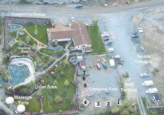
It may be a good thing we don't have pictures of our next stop @ the Orvis hot Springs north of Ouray, CO! A comment of two was made around the fire about getting naked at such places...and how it might push the WTW motif a bit far to hold a rally at such a place....but being long-time Colorado residents with quite a bit of 'soaking' experience under our belts (what belt, dood?) and a lack of any real modesty on that front....we didn't give it a second thought and fully honored the "clothing optional" sign posted just inside the grounds of the orvis complex.

the "lobster pot" was very nice @ 110F. The grounds here are well kept and the place was very clean. I would highly recpommend it to anyone who likes Lithium infused soaks and um....gettin naked!
day price $14..... 9AM to 10PM...come and go as you please.
Camping is offered. $33 each....includes all day soak AND all-night soaking AFTER the public is ran out @ 10PM.
http://www.orvishotsprings.com/
It may be a good thing we don't have pictures of our next stop @ the Orvis hot Springs north of Ouray, CO! A comment of two was made around the fire about getting naked at such places...and how it might push the WTW motif a bit far to hold a rally at such a place....but being long-time Colorado residents with quite a bit of 'soaking' experience under our belts (what belt, dood?) and a lack of any real modesty on that front....we didn't give it a second thought and fully honored the "clothing optional" sign posted just inside the grounds of the orvis complex.
the "lobster pot" was very nice @ 110F. The grounds here are well kept and the place was very clean. I would highly recpommend it to anyone who likes Lithium infused soaks and um....gettin naked!
day price $14..... 9AM to 10PM...come and go as you please.
Camping is offered. $33 each....includes all day soak AND all-night soaking AFTER the public is ran out @ 10PM.
http://www.orvishotsprings.com/
Attachments
mtn-high
Campground Host- FUNKYTOWN
From Orvis we headed north...ravaging a Wendy's on the way for the needed beef and grease all Americans crave...
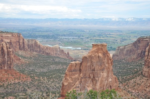
At Grand junction we headed west and up and into the Colorado Nat'l monument. If you've never been here you should check it out. Talk about a 180 degree turn from where we woke up and what most folks think of when they think "COLORADO".
In a nutshell, this is a 22 mile, winding drive along the top of a sandstone escarpment that offers many, many pullouts and vistas. there are a few hiking opportunities, most originating from the bottom of the park and entering into the canyons...but most of this place is a huge DROP OFF.
Red rocks galore...pinyon/juniper...cactus...lizards, snakes, mountain lions, and Desert bighorn (one nearly jumped on the hood!) all call this place home. Incredible stuff.
Fruita, colorado is the town in the valley below....20 miles east of the Utah line...
Attachments
mtn-high
Campground Host- FUNKYTOWN
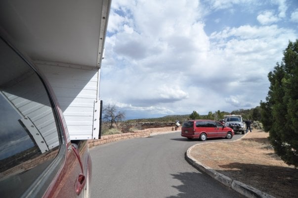
We hadn't been in the Monument long and wer winding/climbing along when i happened to look in the rear view mirror and see what I thought was an FWC just as I rounded another turn.....
on the next straightaway I got a better lok at the rig.... it had a red gas can on top.....and a big-*ss antennae on the front bumper....
Hmmm....i thought....now that guy looks familiar!
Sure enough...it was Delta Rat!
on the next straightaway I got a better lok at the rig.... it had a red gas can on top.....and a big-*ss antennae on the front bumper....
Hmmm....i thought....now that guy looks familiar!
Sure enough...it was Delta Rat!
Attachments
mtn-high
Campground Host- FUNKYTOWN
I hope you enjoyed the park DR. We wondered later if you spent the night or kept heading west...
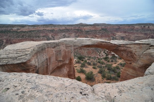
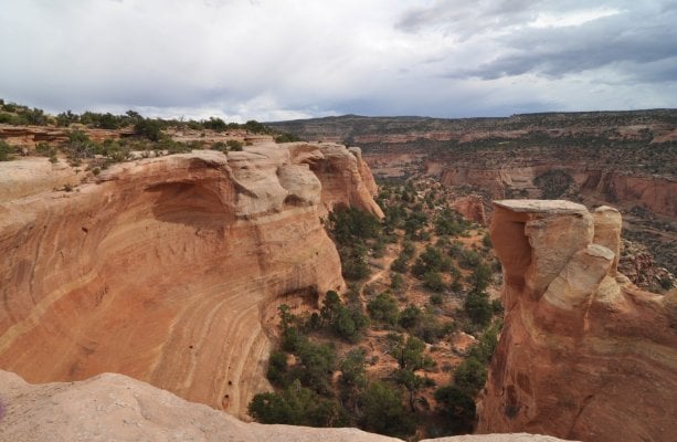
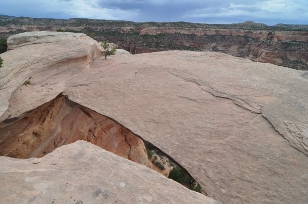
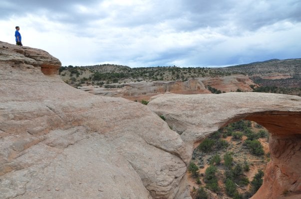
As for us....we headed to the "radio towers" about mid-way along the paved "Rim' road....and then onto the road that heads into the "Black ridge wilderness" and "Rattlesnake canyon". 8 miles or so of mild "4-wheeling"...kinda narrow (bushes/pinyon/.etc)....this is definitely one of those roads you WOULDN'T want to be on in a heavy rain as the clay is that "gumbo' mud that clogs treads and has you sliding all over uncontrollably.
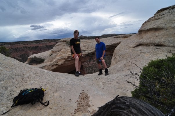
We saw one other couple on a dirtbike at the trailhead...and that was it. I'm not sure they even made the 2 mile hike to the arches...we never saw them again. however, we made the trek and climbed all over the top of the outcrop/arches....
Attachments
mtn-high
Campground Host- FUNKYTOWN
mtn-high
Campground Host- FUNKYTOWN
mtn-high
Campground Host- FUNKYTOWN
mtn-high
Campground Host- FUNKYTOWN
mtn-high
Campground Host- FUNKYTOWN
Similar threads
Try RV LIFE Pro Free for 7 Days
- New Ad-Free experience on this RV LIFE Community.
- Plan the best RV Safe travel with RV LIFE Trip Wizard.
- Navigate with our RV Safe GPS mobile app.
- and much more...


