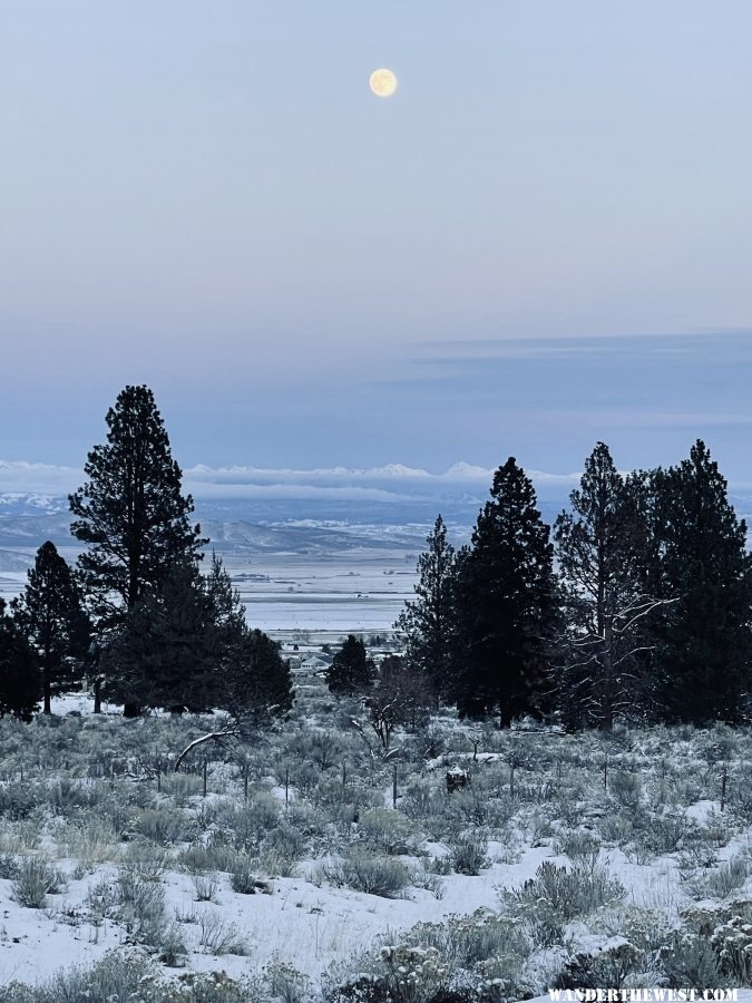
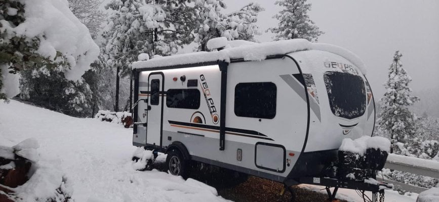
The Lady got to do a lot of shoveling, 10" overnight and more on the way...........
Winter Storm Warning
Winter Storm Warning
Code:
URGENT - WINTER WEATHER MESSAGE
National Weather Service Sacramento CA
303 PM PST Tue Dec 14 2021

...Second Winter Storm to bring Snow to the Mountains and
Foothills Wednesday into Thursday...

.Snow showers over the Sierra Nevada may continue into the
evening. A second winter storm is set to impact Northern
California early Wednesday through Thursday bringing additional
heavy mountain snow and gusty winds to the area. Snow levels will
range from 1000 to 2000 on Wednesday, gradually rising on
Thursday. Significant travel delays and difficult mountain travel
are anticipated. Strong winds will further reduce visibilities
during this event with local whiteout conditions possible.


West Slope Northern Sierra Nevada-
303 PM PST Tue Dec 14 2021

...WINTER STORM WARNING IN EFFECT FROM 4 PM WEDNESDAY TO 10 AM
PST THURSDAY...
...WINTER STORM WARNING IS CANCELLED...

* WHAT...Heavy snow expected. Travel will be very difficult to
  impossible. Total snow accumulations of 12 to 18 inches, with
  localized amounts from 2 to 3 feet, are expected.

* WHERE...West Slope Northern Sierra Nevada.

* WHEN...4 PM Wednesday to 10 AM Thursday.