You are using an out of date browser. It may not display this or other websites correctly.
You should upgrade or use an alternative browser.
You should upgrade or use an alternative browser.
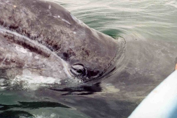
Laguna San Ignacio
- Thread starter chnlisle
- Start date
Can't wait to hear Jay sing

Will we be able to hear him singing from here?

Will we be able to hear him singing from here?
chnlisle
Post Master
Monte,
Phin has heard me sing and it wasn't pretty.
I asked both Gene and Phil to bring down some better audio equipment for the trip. I'm hoping for this.
Phin has heard me sing and it wasn't pretty.
I asked both Gene and Phil to bring down some better audio equipment for the trip. I'm hoping for this.
chnlisle
Post Master
We are now up to 5 confirmed for La Laguna. Bob from SLO will be meeting up with us in San Ignacio. Bob owns a Bobcat. Thats 4 ATC and counting.
Phin has heard me sing and it wasn't pretty.
<snip>
Wow Jay, we have to get a lot more views on that one! Sounds like all of you are going to have a great time. Travel safe and have a lot of fun as we know you will. Are you taking lots of memory cards for the cameras?
<snip>
Wow Jay, we have to get a lot more views on that one! Sounds like all of you are going to have a great time. Travel safe and have a lot of fun as we know you will. Are you taking lots of memory cards for the cameras?
chnlisle
Post Master
Plenty of memory on cameras and phones. Thanks Monte.
generubin
Electric Baja
Here is a good source for Mexican Auto Insurance that I have used in the past: https://www.vagabundos.com/index.html
generubin
Electric Baja
chnlisle
Post Master
I know, I'm anxious to get down there.
SunMan
King Taco
TT and I were poring over our Almanacs last night...we're getting pretty excited too.
generubin
Electric Baja
Suni, I am flying Michael out of Loreto to LAX on Friday March 30th, Anne is flying down the same day. Then Anne and I will work our way north stopping to do the whales at Laguna San Ignacio(again),likely on April 1st, then crossing over along the east side road to Punta San Francisquito, Bahia San Rafael, Bahia de Las Animas (I recommend this bay)then Bahia de Los Angeles. Tony Resendez, the Turtle Man, runs Campo Archelon in Bay of LA. Then head north turning east again at Laguna Salada to Gonzaga for a couple of days. I'm just telling you all of this curious if you guys are going the same way at all.
I know you stick to the west side for the surf but if you haven't visited these east cape locals, they are very, very nice.
I know you stick to the west side for the surf but if you haven't visited these east cape locals, they are very, very nice.
chnlisle
Post Master
Hey y'all,
Gene and I did some research and it turns out you can still get a visa at a consulate or embassy in the US and according to AAA at an international airport as well.
Here's a list of Mexican Consulates in the US including Tucson & Oxnard ;
http://www.mexonline.com/consulate.htm
I'm going over to the one in Tucson after class tomorrow and see if I can get a tourist card there. More to come.
SunMan
King Taco
Suni, I am flying Michael out of Loreto to LAX on Friday March 30th, Anne is flying down the same day. Then Anne and I will work our way north stopping to do the whales at Laguna San Ignacio(again),likely on April 1st, then crossing over along the east side road to Punta San Francisquito, Bahia San Rafael, Bahia de Las Animas (I recommend this bay)then Bahia de Los Angeles. Tony Resendez, the Turtle Man, runs Campo Archelon in Bay of LA. Then head north turning east again at Laguna Salada to Gonzaga for a couple of days. I'm just telling you all of this curious if you guys are going the same way at all.
I know you stick to the west side for the surf but if you haven't visited these east cape locals, they are very, very nice.
Looks like we will run into each other Gene. We will leave Oxnard Friday the 30th and arrive at the lagoon on the 1st also. We have plans to head to San Jose de Gracia after that and then to meet some friends in San Juanico if time allows.
We love the Cortez side too and have not yet explore any of it north of the Bay of LA, depending on time and swell (or lack thereof) we may head out that way but realistically I don't see it happening this trip as we only have 8 days.
Also, TT reminded me that this will be dead in the middle of Semana Santa so plan accordingly
generubin
Electric Baja
Suni,
Likely we'll see you at Laguna San Ignacio. I can tell you from many trips that if you take the east side via Gonzaga etc, it is usual faster than Mexico 1, not to mention infinitely more scenic.
Jay measured from Guerro Negro to Ventura, taking the east side, entering through Calexico is 20 miles shorter than through TJ.
chnlisle
Post Master
Suni (I'm going formal) Ventura to Guerrero Negro via TJ is 646 miles. Via Calexico through Gonzaga it's 681 miles and a far more scenic route.
Bajaxplorer
Advanced Member
Just FYI,
While down working on house last month in Puertecitos, we decided to go to Alfonsina's for shrimp omelettes and check where the pavement ended. They are all the way to Los Delfines now, maybe 10-12 miles from Gonzaga. Hate to see this get paved, but...
While down working on house last month in Puertecitos, we decided to go to Alfonsina's for shrimp omelettes and check where the pavement ended. They are all the way to Los Delfines now, maybe 10-12 miles from Gonzaga. Hate to see this get paved, but...
SunMan
King Taco
Suni (I'm going formal) Ventura to Guerrero Negro via TJ is 646 miles. Via Calexico through Gonzaga it's 681 miles and a far more scenic route.
Thanks Jay. More convenient for us to get FMM's crossing at TJ at O Dark Hundred, the bank is always open. I've started going the Tecate route on the way home, a little longer but much more scenic, less risk of getting hosed in lines. Unless of course we go home via the Cortez route this time. The joy of having no formal plans ;-) Bummed we will miss you guys on this one, oh well, one of these days.
Thanks Jay. More convenient for us to get FMM's crossing at TJ at O Dark Hundred, the bank is always open. I've started going the Tecate route on the way home, a little longer but much more scenic, less risk of getting hosed in lines. Unless of course we go home via the Cortez route this time. The joy of having no formal plans ;-) Bummed we will miss you guys on this one, oh well, one of these days.
SunMan
King Taco
Just FYI,
While down working on house last month in Puertecitos, we decided to go to Alfonsina's for shrimp omelettes and check where the pavement ended. They are all the way to Los Delfines now, maybe 10-12 miles from Gonzaga. Hate to see this get paved, but...
Sounds like the thrill is gone so to speak. Definitely a double edged sword. I'm sure the locals are stoked.
generubin
Electric Baja
Just FYI,
While down working on house last month in Puertecitos, we decided to go to Alfonsina's for shrimp omelettes and check where the pavement ended. They are all the way to Los Delfines now, maybe 10-12 miles from Gonzaga. Hate to see this get paved, but...
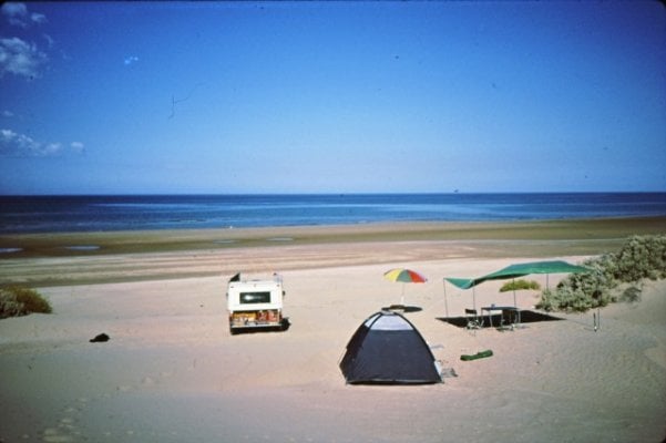
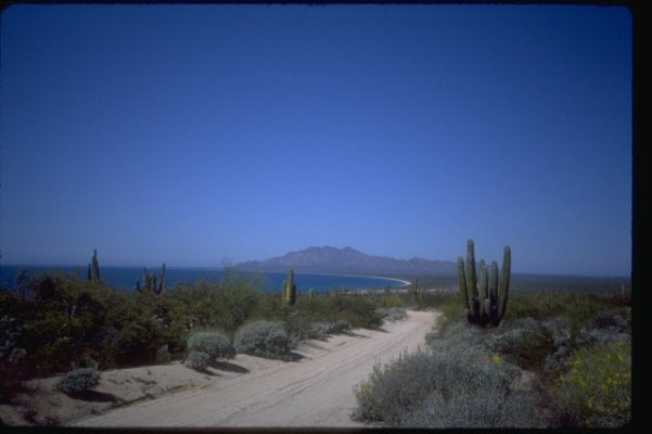
Argh!! I have been worrying about the "pavement" since 1985. First the dunes got bulldozed and the palapas went up, then the Pemex and the store, now pavement!
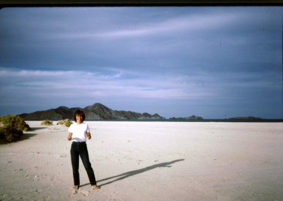
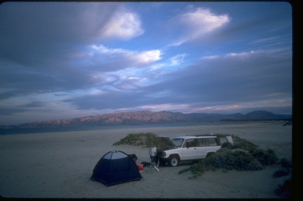
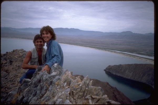
Pics are Gonzaga from 1985
Attachments
generubin
Electric Baja
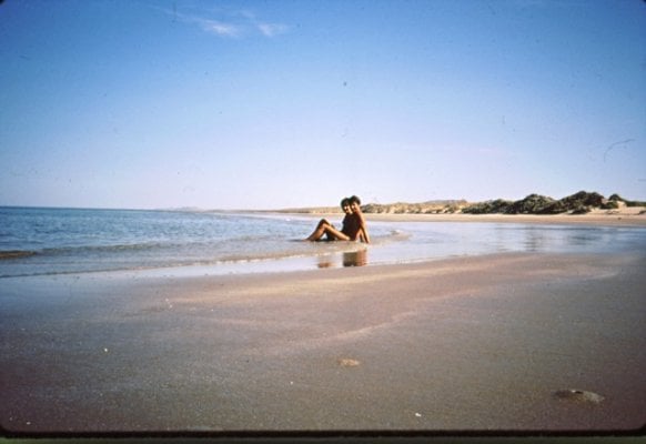
Here is a recommendation for a beach on the mainland. If you Google Earth: southwest of Caborca, Sonora to Punto Lobos (north of Puerto Libertad). Once you are at Punta Lobos you drive the beach about three miles north. My son's mom and I used to go there around 1987 through 1992.
We'd stay a week or even two and not see a single person. You have to drive north from Punta Lobos at low tide and tuck into the a flat spot between the dunes.
I think after this Baja trip, say fall 2012, Anne and I will make a trip there.
Jay, this would be a close one for you. On the map, its latitude is north of Bay of LA so it is not very far at all.
Attachments
Similar threads - WTW
- Bosque Bill
- Trip Reports
- Replies: 8
- Views: 561
- Dr Paddle
- Four Wheel Camper Discussions
- Replies: 6
- Views: 407

