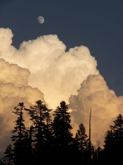
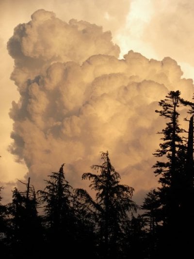
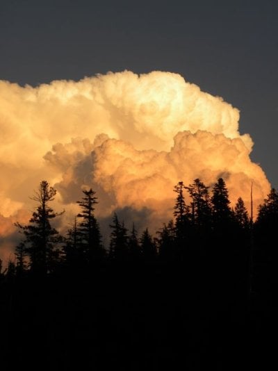
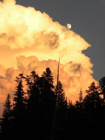
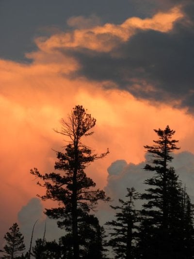
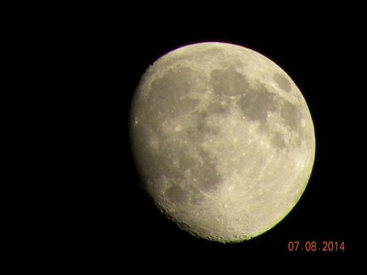
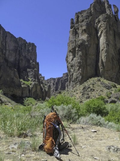
This appears to be the year for a "nose to the grindstone" lifestyle. Between our construction work and my personal remodel/rennovation, it seems fun trips are few and far between. I'm living vicariously from previous journeys at the moment so started catching up on processing some images from last year's fun. This image is from a backpack in the Owyhee Canyonlands with another photographer friend. End of really long day, I was pooped but the light would not stop. 11 pm cloud action (20 sec exposure) with full moon illuminating the canyon walls. I remember a very warm wind blowing and all the dogwood and willow in the foreground were dancing.
Wow, nice one, Craggyman! We were told the origin of the name Owyhee is a reference to two islanders who went upstream to go trapping, and were never seen again. Hence, Hawaii morphed into Owyhee.
Thanks - WS and LH. So many cool images posted on this thread, figured I better get back in the mix. Those lost Owyhee'ans are probably still wandering around out there. Some of these places feel pretty untouched by time/man for sure.
Wow, nice one, Craggyman! We were told the origin of the name Owyhee is a reference to two islanders who went upstream to go trapping, and were never seen again. Hence, Hawaii morphed into Owyhee.
Must add this place to bucket list ;-)
Leslie Gulch is very scenic and relatively easy to get to -- a long way for most people, but accessible via a regular road that leads to the Reservoir.
The upper Owyhee and its tributaries -- upstream of Rome and upstream of Three Forks -- is really remote. It makes the Alvord Desert and Steens Mt area seem metropolitan by comparison (at least, that's how it felt to me when I visited the West Little Owyhee with Craggyman and another friend, long ago). But dirt roads do lead there, to the edge of canyons here and there.
Then to get where Craggyman got you have to leave your rig behind and hoof it...Damn...
Thanks Jim! I checked both sites and bookmarked a lifetime of exploration. I visited your site and was impressed with your extensive landscape work in the OR/ID deserts. Also, I would be remiss if I didn't say I was sorry to read about your loss.

")