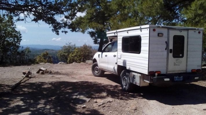
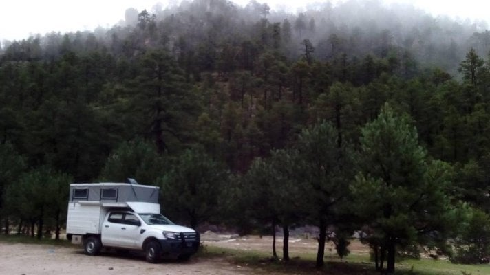
Drove from Tulum to Albuquerque last month and managed to remember to take a few pics of the camper. One is over looking the Copper Canyon and the other is near Creel MX.
In the two years we have had our ATC camper we have camped in some very special places but this spot was the best place that we didn't hike or paddle to. Complete solitude. Our only visitors were a herd of elk.
In the two years we have had our ATC camper we have camped in some very special places but this spot was the best place that we didn't hike or paddle to. Complete solitude. Our only visitors were a herd of elk.
Thanks for noticing! I installed a chunk of 1.5 inch rigid foam board to the underside of the bed in order to add some insulation. It keeps the inside under the big cushion from frosting up during the winter months.
From the paved highway 93, turn left onto Double Springs Pass Rd. and then right onto Horse Heaven Pass Rd. You will come to fork in the road....take the east fork and continue to the end of the road. You will be where the pictures were taken. I think it was only 24 kms in to the spot but it took a little over 2 1/2 hours. The route in is rocky, has a few creek crossings and one very steep section but worth it.
From the paved highway 93, turn left onto Double Springs Pass Rd. and then right onto Horse Heaven Pass Rd. You will come to fork in the road....take the east fork and continue to the end of the road. You will be where the pictures were taken. I think it was only 24 kms in to the spot but it took a little over 2 1/2 hours. The route in is rocky, has a few creek crossings and one very steep section but worth it.


")


