URGENT - WINTER WEATHER MESSAGE
National Weather Service Sacramento CA
1103 AM PDT Thu May 20 2021
...Late season snow will impact mountain travel and recreation...
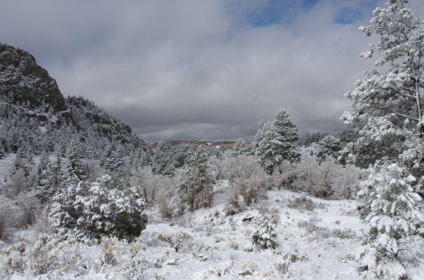
.A cold late season weather system will bring a quick period of
snow to the southern Cascades and northern Sierra Nevada into the
evening. The heaviest snow is expected for elevations above 5000
feet near Mt Lassen, and above 6500 feet across the northern
Sierra. Lighter accumulations will be possible down to 3500 to
5000 feet.
Campers and hikers, especially around Lassen Volcanic National
Park and along the Sierra crest, should prepare for winter-like
conditions. Stronger snow showers could develop into thundersnow
with dangerous lightning. Mountain travel impacts are possible,
including chain controls, travel delays, and lower visibilities.
CAZ069-210215-
/O.EXT.KSTO.WW.Y.0018.210520T1803Z-210521T0700Z/
West Slope Northern Sierra Nevada-
1103 AM PDT Thu May 20 2021
...WINTER WEATHER ADVISORY NOW IN EFFECT UNTIL MIDNIGHT PDT
TONIGHT ABOVE 6500 FEET...
* WHAT...Snow will start developing around mid-day. Plan on
localized slippery road conditions, including during the evening
commute. Snow accumulations of 2 to 4 inches, with localized
amounts up to 7 inches, are expected.
* WHERE...West Slope Northern Sierra Nevada.
* WHEN...11 AM PDT through midnight.
* ADDITIONAL DETAILS...Be prepared for reduced visibilities at
times.


 ! The weather report went from a 20% chance on Wednesday night to a 50-60% chance over night, wind is picking up-summer is not quite ready to show up here!