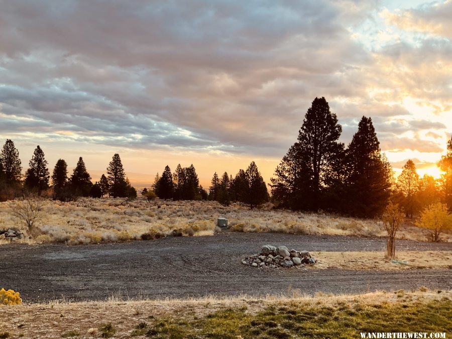
Fall In

We have a (relative) heat wave in store for the next couple of days.

IMG_20211015_103500.jpg


Not freezing or raining or snowing makes it easier for me to finish prepping and packing my rig for travel.
 
I went out for lunch today, and I wore long pants...but a short-sleeve shirt and sandals.

One handy thing about the cold season: Wearing a jacket provides more pockets for carrying things when out and about.
 
Middle of the night... must be raining -- I hear drip drip drip in the downspout outside my bedroom. 44°F.
 
I knew "if you build it they will come".
I had new rain gutters installed last Friday and it must have been
an omen to the rain gods.
Not much but it wet the bushes and cleared off the dust.

Maybe more soon?
Frank
 
I predict it will start snowing hard. I dropped the snowblower quick hitch hydraulic cylinder off at the shop for rebuild to fix a leak. Can't clear snow 'til I get it back.
 
A beautiful sunrise and a nice light rain this morning. Snow on the Elkhorn peaks, the larch, aspen and cottonwood trees are a wonderful golden. I’m at peace.

gallery_4841_711_2758816.jpeg
 
Whoa...........here it comes, a double dose of weather!


Flood Watch

Flood Watch
National Weather Service Sacramento CA
241 PM PDT Thu Oct 21 2021

.An intense band of precipitation will move through this evening
into Friday morning. Periods of moderate to heavy rain are expected,
especially Friday morning. These could bring potential
ash and debris flows over recent burn scar areas in Shasta, Tehama,
Butte and Plumas counties. Potential rainfall rates will be over a
half inch per hour this evening. Snow levels will be high.

A Flood Watch has been issued for interior Northern California from
Saturday evening through Monday afternoon. Long duration moderate to
heavy rain may lead to urban and small stream flooding during this
time.

...FLOOD WATCH IN EFFECT FROM SATURDAY EVENING THROUGH MONDAY
AFTERNOON...

The National Weather Service in Sacramento has issued a

* Flood Watch for a portion of northern California, including the
following areas, Carquinez Strait and Delta, Central Sacramento
Valley, Motherlode, Northern San Joaquin Valley, Southern
Sacramento Valley and West Slope Northern Sierra Nevada.

* From Saturday evening through Monday afternoon.

* Heavy rain may lead to urban and small stream flooding.
Winter Storm Watch
Code:
URGENT - WINTER WEATHER MESSAGE
National Weather Service Sacramento CA
241 PM PDT Thu Oct 21 2021

...Winter storm will bring heavy mountain snow Sunday night
through early Tuesday morning...

.A strong winter storm will impact the northern Sierra late Sunday
night through early Tuesday morning. Snow levels will quickly
fall from above pass level Sunday evening to around 6,000 feet by
early Monday. Periods of heavy snowfall and gusty winds will
create hazardous travel conditions. Expect mountain travel impacts
such as chain controls and travel delays.


...WINTER STORM WATCH IN EFFECT FROM 11 PM SUNDAY THROUGH 5 AM
TUESDAY ABOVE 6000 FEET...

* WHAT...Heavy wet snow possible. Travel will be very difficult to
  impossible, including during the morning commute on Monday.
  Total wet snow accumulations of 8 inches to 2 feet, with
  localized amounts up to 3 feet, are possible.

* WHERE...Western Plumas County/Lassen Park and West Slope
  Northern Sierra Nevada.

* WHEN...From late Sunday evening through early Tuesday morning.

* ADDITIONAL DETAILS...Significant reductions in visibility are
  possible.
 
Back
Top Bottom